Search Constraints
Search Results


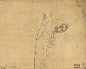
13222. West Point
13223. West Point


13226. West Point and vicinity

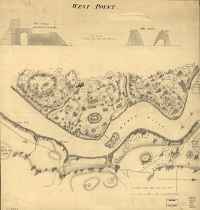
13227. West Point, New York

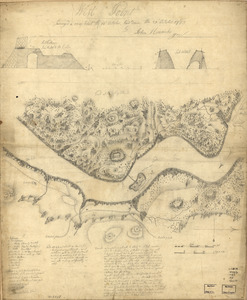
13228. West Point; or Fort Defiance

13229. West Randolph, Vt : 1886


13232. Westboro, Mass., 1880