Toggle navigation
LMEC Home
Exhibitions
Georeferencing
Tools for Teachers
Collections
My Favorites
Sign Up / Log In
Search
Search the map portal
Map Collection
Map Collection
Map Sets
Search
Search
Search for
Search In
All Fields
Creator
Title
Subject
Place
Search All Digital Collections
Advanced Search
13385 Results
Filter your Search
Place
North and Central America
9,353
United States
7,078
Suffolk (county)
1,664
Boston
1,621
Europe
1,035
Canada
949
Massachusetts
794
New York
532
more
Place
»
Topic
Boston (Mass.)--Maps
741
City planning--Massachusetts--Boston--Maps
418
United States--History--Revolution, 1775-1783--Maps
329
United States--Maps
315
Urban renewal--Massachusetts--Boston--Maps
254
Real property--Massachusetts--Boston--Maps
252
Massachusetts--Maps
219
Insurance surveys
197
more
Topic
»
Date
Date range begin
–
Date range end
Current results range from
1482
to
2023
View distribution
Creator
United States. Hydrographic Office
595
Boston Redevelopment Authority
403
Des Barres, Joseph F. W. (Joseph Frederick Wallet), 1722-1824
247
Royal United Services Institute for Defence and Security Studies
160
Jefferys, Thomas, -1771
154
George, III, King of Great Britain, 1738-1820
152
George, IV, King of Great Britain, 1762-1830
151
O.H. Bailey & Co
148
more
Creator
»
Format
Maps/Atlases
13,205
Manuscripts
985
Prints
102
Books
49
Drawings/Illustrations
44
Photographs
15
Objects/Artifacts
13
Documents
7
more
Format
»
Georeferenced
Yes
979
No
12,406
Collection
Norman B. Leventhal Map Center Collection
8,891
American Revolutionary War-Era Maps
3,305
Boston and New England Maps
2,804
Urban Maps
2,397
Maritime Charts and Atlases
1,150
William L. Clements Library Collection
910
Library of Congress Collection
618
Boston Redevelopment Authority Collection
475
more
Collection
»
Available to use
No known restrictions
9,952
Creative Commons license
1,677
Search Constraints
Sort by relevance
relevance
title
date (asc)
date (desc)
Number of results to display per page
20 per page
10
per page
20
per page
50
per page
100
per page
View results as:
grid view
map view
Search Results
5741.
Map of the lands included in the Central Park, from a topographical survey, June 17th, 1856
5742.
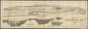
Map of the Lehigh Coal & Navigation Co.'s coal property near Mauch Chunk, Pa
5743.
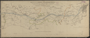
Map of the line of the London and Birmingham Railway : from Euston Square Station to Stony Stratford in Buckinghamshire,...
5744.
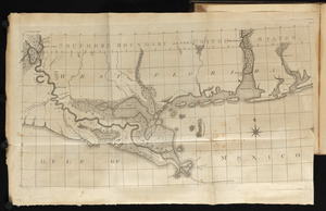
Map of the Lower Mississippi River
5745.
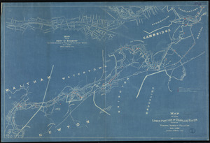
Map of the lower portion of Charles River showing principal sources of pollution
5746.
A map of the Maine coast from York Harbor to Saco Bay : reminiscent & actual
5747.
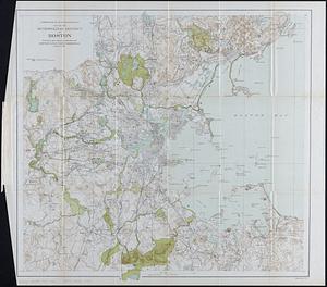
Map of the metropolitan district of Boston : showing local public reservations, and holdings of the Metropolitan Park...
5748.
Map of the metropolitan district of Boston, Massachusetts : showing local public reservations and holdings of the Metropolitan...
5749.
Map of the metropolitan district of Boston, Massachusetts : showing the existing public reservations and such new open spaces...
5750.
Map of the Metropolitan District of Boston showing local public reservations and holdings of the Metropolitan District...
5751.
Map of the Mexican National Railway : showing also its relative position to the railway system of the United States, both as to...
5752.
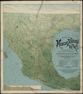
Map of the Mexican National R.R "Laredo route " and connections : the scenic short line to the city of Mexico
5753.
A map of the middle British colonies in North America : first published by Mr. Lewis Evans, of Philadelphia, in 1755; and since...
5754.
A map of the middle British colonies in North America : first published by Mr. Lewis Evans, of Philadelphia, in 1755; and since...
5755.
Map of the middle states of America : drawn from the latest and best authorities
5756.
Map of the middle states of America : comprehends New-York, New-Jersey, Pennsylvania, Delaware, and the territory N.W. of Ohio
5757.
Map of the middle states of America : comprehends New-York, New-Jersey, Pennsylvania, Delaware, and the territory N:W: of Ohio
5758.
Map of the middle states of America : comprehends New-York, New-Jersey, Pennsylvania, Delaware, and the territory N:W: of Ohio
5759.
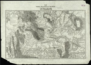
Map of the military Department of the Platte Wyoming
5760.
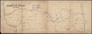
Map of the Milwaukee and Mississippi Rail-Road
‹ Prev
Next ›
1
2
…
284
285
286
287
288
289
290
291
292
…
669
670