Toggle navigation
LMEC Home
Exhibitions
Georeferencing
Tools for Teachers
Collections
My Favorites
Sign Up / Log In
Search
Search the map portal
Map Collection
Map Collection
Map Sets
Search
Search
Search for
Search In
All Fields
Creator
Title
Subject
Place
Search All Digital Collections
Advanced Search
13456 Results
Filter your Search
Place
North and Central America
10,174
United States
8,310
Massachusetts
2,742
Suffolk (county)
1,667
Boston
1,623
Europe
1,386
Canada
949
New York
640
more
Place
»
Topic
Boston (Mass.)--Maps
742
City planning--Massachusetts--Boston--Maps
418
United States--History--Revolution, 1775-1783--Maps
329
United States--Maps
315
Urban renewal--Massachusetts--Boston--Maps
254
Real property--Massachusetts--Boston--Maps
252
Massachusetts--Maps
228
Insurance surveys
197
more
Topic
»
Date
Date range begin
–
Date range end
Current results range from
1482
to
2023
View distribution
Creator
United States. Hydrographic Office
596
Boston Redevelopment Authority
403
Des Barres, Joseph F. W. (Joseph Frederick Wallet), 1722-1824
247
Royal United Services Institute for Defence and Security Studies
160
Jefferys, Thomas, -1771
154
George, III, King of Great Britain, 1738-1820
152
George, IV, King of Great Britain, 1762-1830
151
O.H. Bailey & Co
148
more
Creator
»
Format
Maps/Atlases
13,275
Manuscripts
985
Prints
102
Books
49
Drawings/Illustrations
44
Photographs
15
Objects/Artifacts
13
Documents
7
more
Format
»
Georeferenced
Yes
979
No
12,477
Collection
Norman B. Leventhal Map & Education Center Collection
8,962
American Revolutionary War-Era Maps
3,305
Boston and New England Maps
2,859
Urban Maps
2,402
Maritime Charts and Atlases
1,167
William L. Clements Library Collection
910
Library of Congress Collection
618
Boston Redevelopment Authority Collection
475
more
Collection
»
Available to use
No known restrictions
10,023
Creative Commons license
1,677
Search Constraints
Sort by relevance
relevance
title
date (asc)
date (desc)
Number of results to display per page
20 per page
10
per page
20
per page
50
per page
100
per page
View results as:
grid view
map view
Search Results
5141.
Map of Massachusetts proper
5142.
Map of Massachusetts, Rhode-Island & Connecticut : compiled from the latest authorities
5143.
Map of Massachusetts, Rhode-Island & Connecticut : compiled from the latest authorities
5144.
Map of Massachusetts showing population according to census of 1910
5145.
Map of Massachusetts showing population according to United States Census of 1900 and congressional districts
5146.
Map of Massachusetts showing state highways laid out & petitioned for
5147.
Map of Massachusetts showing state highways laid out & petitioned for
5148.
Map of Massachusetts showing state highways laid out and petitioned for
5149.
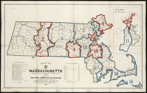
A map of Massachusetts, showing the congressional districts, as proposed by the Senate of 1852
5150.
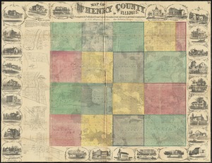
Map of McHenry County, Illinois
5151.
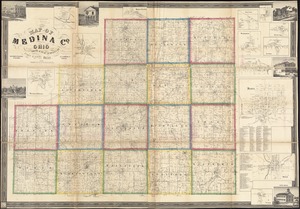
Map of Medina Co., Ohio
5152.
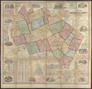
Map of Merrimack County, New Hampshire
5153.
A Map of Methuen, Mass
5154.
Map of Mexico, constructed from all available materials and corrected to 1862 = H. Kiepert's karte von Mexico, überdruck aus...
5155.
Map of Middlesex County, Mass : copied from a map belonging to the state, with various additions and alterations, by order of...
5156.
Map of Middlesex County, Massachusetts : based upon the trigonometrical survey of the state
5157.
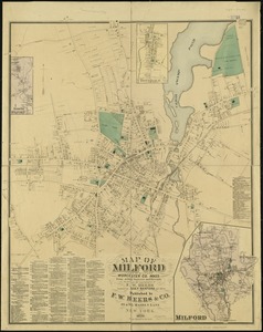
Map of Milford : town of Milford Worcester Co. Mass : from actual surveys and records
5158.
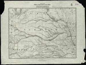
Map of military Department of the Platte, Nebraska
5159.
Map of military lots, tracts, patents, etc. in western Allegany and Garrett Counties, Maryland
5160.
Map of military reconnaissance from Fort Taylor to the Coeur d'Alene mission, Washington Territory
‹ Prev
Next ›
1
2
…
254
255
256
257
258
259
260
261
262
…
672
673