Toggle navigation
LMEC Home
Exhibitions
Georeferencing
Tools for Teachers
Collections
My Favorites
Sign Up / Log In
Search
Search the map portal
Map Collection
Map Collection
Map Sets
Search
Search
Search for
Search In
All Fields
Creator
Title
Subject
Place
Search All Digital Collections
Advanced Search
13680 Results
Filter your Search
Place
North and Central America
10,344
United States
8,475
Massachusetts
2,789
Suffolk (county)
1,677
Boston
1,633
Europe
1,415
Canada
950
New York
649
more
Place
»
Topic
Boston (Mass.)--Maps
747
City planning--Massachusetts--Boston--Maps
418
United States--History--Revolution, 1775-1783--Maps
329
United States--Maps
322
Real property--Massachusetts--Boston--Maps
254
Urban renewal--Massachusetts--Boston--Maps
254
Massachusetts--Maps
231
Insurance surveys
197
more
Topic
»
Date
Date range begin
–
Date range end
Current results range from
1482
to
2023
View distribution
Creator
United States. Hydrographic Office
597
Boston Redevelopment Authority
404
Des Barres, Joseph F. W. (Joseph Frederick Wallet), 1722-1824
247
Royal United Services Institute for Defence and Security Studies
160
Jefferys, Thomas, -1771
154
George, III, King of Great Britain, 1738-1820
152
George, IV, King of Great Britain, 1762-1830
151
O.H. Bailey & Co
148
more
Creator
»
Format
Maps/Atlases
13,499
Manuscripts
985
Prints
102
Books
49
Drawings/Illustrations
44
Photographs
15
Objects/Artifacts
13
Documents
7
more
Format
»
Georeferenced
Yes
979
No
12,701
Collection
Norman B. Leventhal Map & Education Center Collection
9,096
American Revolutionary War-Era Maps
3,305
Boston and New England Maps
2,915
Urban Maps
2,471
Maritime Charts and Atlases
1,169
William L. Clements Library Collection
910
Library of Congress Collection
618
Boston Redevelopment Authority Collection
475
more
Collection
»
Available to use
No known restrictions
10,246
Creative Commons license
1,678
Search Constraints
Sort by relevance
relevance
title
date (asc)
date (desc)
Number of results to display per page
20 per page
10
per page
20
per page
50
per page
100
per page
View results as:
grid view
map view
Search Results
7101.
A new chart of the vast Atlantic or Western Ocean including the sea coast of Europe, Africa, America, and the West India...
7102.
A new chart of the West Indies, drawn from the best Spanish maps, and regulated by astronomical observations ; Plan of the road...
7103.
A new chart of the West Indies including the Florida Gulf and Stream
7104.
A new chart of ye coast of New Found Land, New Scotland and New England &c.
7105.
New commercial, sportsmen's and route survey of Maine : showing all postoffices, railroads, electric roads, principal highways,...
7106.
New Congress Street improvements
7107.
New correct map of the flat surface, stationary earth
7108.
A new county map of the state of Pennsylvania and adjoining states : showing the route of the Central & other rail roads &c....
7109.
A New description of Carolina
7110.
A new description of the shyres Lothian and Linlitquo
7111.
New dissected map of the United States
7112.
New driving road map of Worcester Co. Massachusetts
7113.
New Engelland, New York, New Yersey und Pensilvania
7114.
New England : reduced from Jeffrey's [sic] map, London, 1774
7115.
New England : die mercklichsten dheile, also genennet durch den durchl: und mechtigen Prinzen und h.h. Carolus, Prinzen von...
7116.
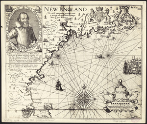
New England : the most remarqueable parts thus named by the high and mighty Prince Charles, prince of great Britaine
7117.
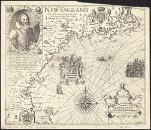
New England : the most remarqueable parts thus named by the high and mighty Prince Charles, Prince of great Britaine
7118.
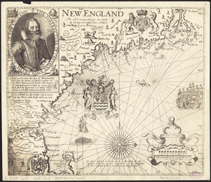
New England : the most remarqueable parts thus named by the high and mighty Prince Charles, nowe king of great Britaine
7119.
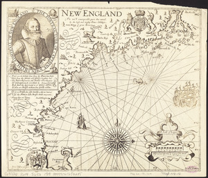
New England : the most remarqueable parts thus named by the high and mighty Prince Charles, nowe king of great Britaine
7120.
New England : the most remarqueable parts thus named by the high and mighty Prince Charles, nowe king of great Britaine
‹ Prev
Next ›
1
2
…
352
353
354
355
356
357
358
359
360
…
683
684