Toggle navigation
LMEC Home
Exhibitions
Georeferencing
Tools for Teachers
Collections
My Favorites
Sign Up / Log In
Search
Search the map portal
Map Collection
Map Collection
Map Sets
Search
Search
Search for
Search In
All Fields
Creator
Title
Subject
Place
Search All Digital Collections
Advanced Search
13518 Results
Filter your Search
Place
North and Central America
10,232
United States
8,367
Massachusetts
2,778
Suffolk (county)
1,675
Boston
1,631
Europe
1,386
Canada
949
New York
640
more
Place
»
Topic
Boston (Mass.)--Maps
746
City planning--Massachusetts--Boston--Maps
418
United States--History--Revolution, 1775-1783--Maps
329
United States--Maps
321
Real property--Massachusetts--Boston--Maps
254
Urban renewal--Massachusetts--Boston--Maps
254
Massachusetts--Maps
230
Insurance surveys
197
more
Topic
»
Date
Date range begin
–
Date range end
Current results range from
1482
to
2023
View distribution
Creator
United States. Hydrographic Office
596
Boston Redevelopment Authority
404
Des Barres, Joseph F. W. (Joseph Frederick Wallet), 1722-1824
247
Royal United Services Institute for Defence and Security Studies
160
Jefferys, Thomas, -1771
154
George, III, King of Great Britain, 1738-1820
152
George, IV, King of Great Britain, 1762-1830
151
O.H. Bailey & Co
148
more
Creator
»
Format
Maps/Atlases
13,337
Manuscripts
985
Prints
102
Books
49
Drawings/Illustrations
44
Photographs
15
Objects/Artifacts
13
Documents
7
more
Format
»
Georeferenced
Yes
979
No
12,539
Collection
Norman B. Leventhal Map & Education Center Collection
9,022
American Revolutionary War-Era Maps
3,305
Boston and New England Maps
2,900
Urban Maps
2,425
Maritime Charts and Atlases
1,167
William L. Clements Library Collection
910
Library of Congress Collection
618
Boston Redevelopment Authority Collection
475
more
Collection
»
Available to use
No known restrictions
10,085
Creative Commons license
1,677
Search Constraints
Sort by relevance
relevance
title
date (asc)
date (desc)
Number of results to display per page
20 per page
10
per page
20
per page
50
per page
100
per page
View results as:
grid view
map view
Search Results
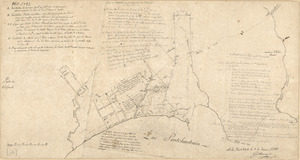
5821.
A map of the n.e. part of Asia, and n.w. parts of America, shewing their situations with respect to Japan
5822.
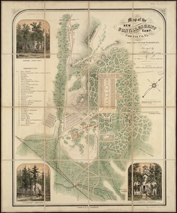
Map of the new convalescent camp : Fairfax Co., Va. four miles S.W. from Washington, D.C
5823.
Map of the New England and Middle Atlantic States
5824.
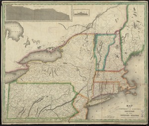
A map of the New England states : Maine, New Hampshire, Vermont, Massachusetts, Rhode Island & Connecticut, with the adjacent...
5825.
A map of the New England states : Maine, New Hampshire, Vermont, Massachusetts, Rhode Island & Connecticut, with the adjacent...
5826.
A Map of the new governments, of East & West Florida
5827.
Map of the New York & Boston Railway, with its connections with other railways
5828.
Map of the New York Central & Hudson River and Boston & Albany Railroads : sea shore and summer resorts of New York and New...
5829.
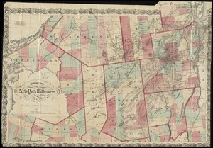
Map of the New York wilderness
5830.
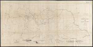
Map of the Nez Perce Indian campaign Brig. Gen. O. O. Howard commanding
5831.
A map of the North Pole with all the territories that lye near it, known to us &c. According to the latest discoveries, and...
5832.
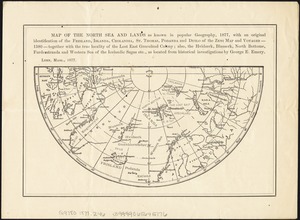
Map of the North Sea and lands as known in popular geography, 1877, with an original identification of the Frisland, Islanda,...
5833.
Map of the north shore of Lake Pontchartrain between Bayou Chenchuba and Bayou Lacombe, Louisiana
5834.
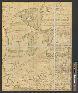
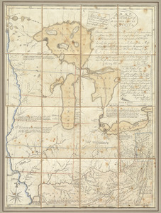
A map of the north west parts of the United States of America
5835.
A map of the north west parts of the United States of America
5836.
A map of the North Western Territory
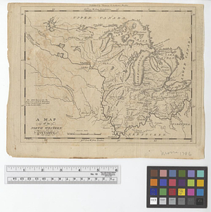
5837.
Map of the northern & eastern section of the United States
5838.
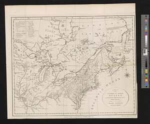
A map of the northern and middle states : comprehending the western territory & the British dominions in North America : from...
5839.
A map of the northern and middle states; comprehending the western territory and the British dominions in North America from...
5840.
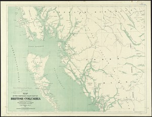
Map of the northern coast part of British Columbia
‹ Prev
Next ›
1
2
…
288
289
290
291
292
293
294
295
296
…
675
676