Toggle navigation
LMEC Home
Exhibitions
Georeferencing
Tools for Teachers
Collections
My Favorites
Sign Up / Log In
Search
Search the map portal
Map Collection
Map Collection
Map Sets
Search
Search
Search for
Search In
All Fields
Creator
Title
Subject
Place
Search All Digital Collections
Advanced Search
2843 Results
My Search
Start Over
atlas
Remove constraint atlas
Filter your Search
Place
North and Central America
1,647
United States
987
Europe
464
Massachusetts
348
Canada
271
Asia
190
South America
189
Suffolk (county)
163
more
Place
»
Topic
Landowners--Massachusetts--Boston--Maps
115
Real property--Massachusetts--Boston--Maps
106
United States--Maps
87
Boston (Mass.)--Maps
63
United States--History--French and Indian War, 1754-1763--Maps
63
Saint Lawrence River--Maps
41
Nautical charts--Early works to 1800
39
North America--Maps--Early works to 1800
36
more
Topic
»
Date
Date range begin
–
Date range end
Current results range from
1482
to
2023
View distribution
Creator
United States. Hydrographic Office
582
Des Barres, Joseph F. W. (Joseph Frederick Wallet), 1722-1824
118
Ptolemy, 2nd cent
100
Bromley, George Washington
99
Bromley, Walter Scott
97
G.W. Bromley & Co.
75
Carey, Mathew, 1760-1839
74
Paullin, Charles Oscar, 1868 or 1869-1944
70
more
Creator
»
Format
Maps/Atlases
2,827
Manuscripts
58
Books
37
Prints
8
Documents
5
Drawings/Illustrations
1
Georeferenced
Yes
142
No
2,701
Collection
Norman B. Leventhal Map & Education Center Collection
2,386
Maritime Charts and Atlases
1,150
American Revolutionary War-Era Maps
504
Boston and New England Maps
374
Urban Maps
250
Massachusetts Real Estate Atlases
144
William L. Clements Library Collection
92
Mapping Boston Collection
61
more
Collection
»
Available to use
No known restrictions
2,292
Creative Commons license
158
Search Constraints
Sort by relevance
relevance
title
date (asc)
date (desc)
Number of results to display per page
20 per page
10
per page
20
per page
50
per page
100
per page
View results as:
grid view
map view
Search Results
2721.
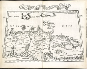
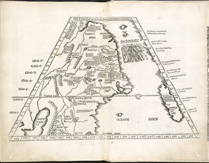
II Tabula moderna Aphrice
2722.
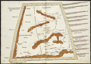
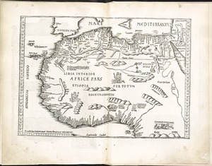
Libyae interioris pars
2723.
Map of the railroads of the state of Massachusetts : accompanying the report of the railroad commissioners : 1899
2724.
New Found Land, St. Laurence Bay, the fishing banks, Acadia, and part of New Scotland
2725.
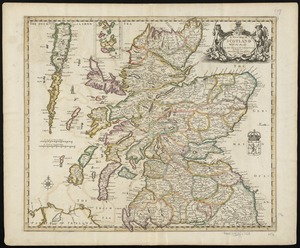
A new map of Scotland with the roads
2726.
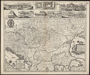
A new mapp of the Kingdom of Hungary and the states that have been subject to it, which are at present the northern parts of...
2727.
Octava Asie tabula continet Scythiam que citra Imaū est & seras
2728.
Quarta Europe tabula continet Germaniam
2729.
Secunda Asie tabula continet Sarmatia ipsius
2730.
Septima Asia tabula continet Margianam, Bactrianam, Sogdianos, Sacas & Scythiam intra Imaū mōtē
2731.
Septima Europae tabula
2732.
Ta. here. Helve
2733.
Ta. superioris Indiae et Tartariae maioris
2734.
Tab. mo. primae partis Aphricae, et tabula secunde partis Aphricae
2735.
Tab. mo. secundae partis Aphricae
2736.
Tab. nova Norbegiae et Gottiae
2737.
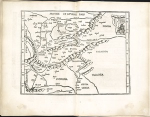
Tabu. moderna Hungariae, Poloniae, Russiae, Prussiae et Valachiae
2738.
Tabu. terre Sanctae
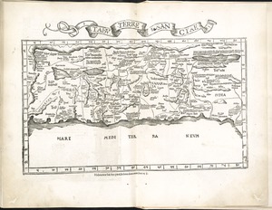
2739.
Tabula I Europae
2740.
Tabula II Europae
‹ Prev
Next ›
1
2
…
133
134
135
136
137
138
139
140
141
142
143