Toggle navigation
LMEC Home
Exhibitions
Georeferencing
Tools for Teachers
Collections
My Favorites
Sign Up / Log In
Search
Search the map portal
Map Collection
Map Collection
Map Sets
Search
Search
Search for
Search In
All Fields
Creator
Title
Subject
Place
Search All Digital Collections
Advanced Search
13552 Results
Filter your Search
Place
North and Central America
10,249
United States
8,381
Massachusetts
2,783
Suffolk (county)
1,677
Boston
1,633
Europe
1,399
Canada
950
New York
644
more
Place
»
Topic
Boston (Mass.)--Maps
747
City planning--Massachusetts--Boston--Maps
418
United States--History--Revolution, 1775-1783--Maps
329
United States--Maps
321
Real property--Massachusetts--Boston--Maps
254
Urban renewal--Massachusetts--Boston--Maps
254
Massachusetts--Maps
231
Insurance surveys
197
more
Topic
»
Date
Date range begin
–
Date range end
Current results range from
1482
to
2023
View distribution
Creator
United States. Hydrographic Office
596
Boston Redevelopment Authority
404
Des Barres, Joseph F. W. (Joseph Frederick Wallet), 1722-1824
247
Royal United Services Institute for Defence and Security Studies
160
Jefferys, Thomas, -1771
154
George, III, King of Great Britain, 1738-1820
152
George, IV, King of Great Britain, 1762-1830
151
O.H. Bailey & Co
148
more
Creator
»
Format
Maps/Atlases
13,371
Manuscripts
985
Prints
102
Books
49
Drawings/Illustrations
44
Photographs
15
Objects/Artifacts
13
Documents
7
more
Format
»
Georeferenced
Yes
979
No
12,573
Collection
Norman B. Leventhal Map & Education Center Collection
9,056
American Revolutionary War-Era Maps
3,305
Boston and New England Maps
2,906
Urban Maps
2,442
Maritime Charts and Atlases
1,168
William L. Clements Library Collection
910
Library of Congress Collection
618
Boston Redevelopment Authority Collection
475
more
Collection
»
Available to use
No known restrictions
10,119
Creative Commons license
1,677
Search Constraints
Sort by relevance
relevance
title
date (asc)
date (desc)
Number of results to display per page
20 per page
10
per page
20
per page
50
per page
100
per page
View results as:
grid view
map view
Search Results
13141.
W. & A.K. Johnston's maps to illustrate the Niger and Upper Nile questions
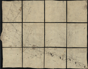
13142.
W. Br. Pine Cr
13143.
W. Su[q.?] Cr., Bradford Co
13144.
Wadi Sirhan AAF aeronautical chart
13145.
Wage map no. 1 - Polk Street to Twelfth, Halsted Street to Jefferson, Chicago ; Wage map no. 2 - Polk Street to Twelfth,...
13146.
Wage map no. 3 - Polk Street to Twelfth, Beach Street to Pacific Avenue, Chicago ; Wage map no. 4 - Polk Street to Twelfth,...
13147.
Wahre Bildtnüé der vesten Statt Montavban und wie dieselbe von Königl. Maÿ. in Franckreich belägert worden Anno 1621
13148.
Wakefield and Peace Dale, Rhode Island : 1888
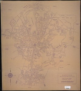
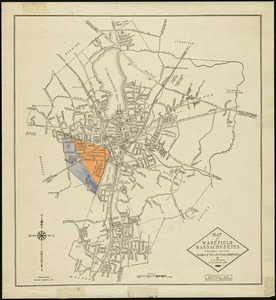
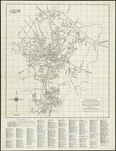
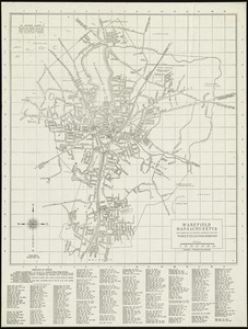
13149.
Wakefield, Massachusetts
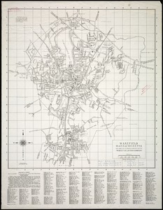
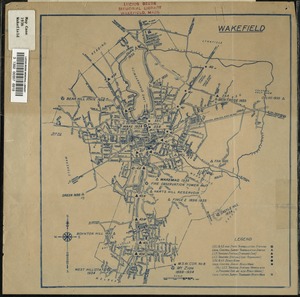
13150.
Wakefield, Massachusetts
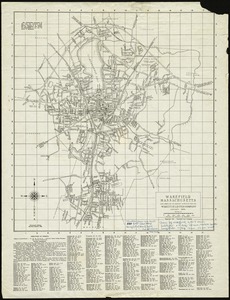
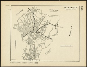
13151.
Wakefield, Massachusetts
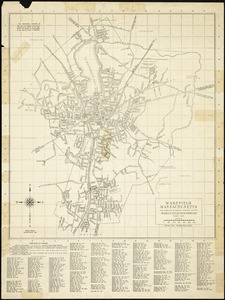
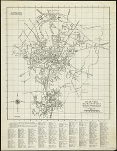
13152.
Wakefield, Massachusetts
13153.
Wakefield, Massachusetts
13154.
Wakefield, Massachusetts
13155.
Wakefield, Massachusetts
13156.
Wakefield, Massachusetts
13157.
Wakefield, Massachusetts
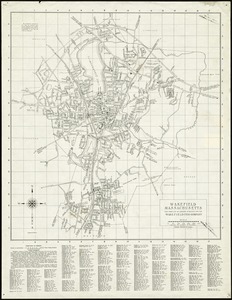
13158.
Wakefield, Massachusetts
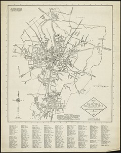
13159.
Wakefield, Massachusetts
13160.
Wakefield, Massachusetts
‹ Prev
Next ›
1
2
…
654
655
656
657
658
659
660
661
662
…
677
678