Wakefield, Massachusetts
Item Information
- Title:
- Wakefield, Massachusetts
- Creator:
- Bridge, Edward Melville, 1890-
- Sponsor:
- Wakefield Item Company
- Name on Item:
-
compiled by Edward M. Bridge for the Wakefield Item Company
- Date:
-
1948
- Format:
-
Maps/Atlases
- Location:
- Lucius Beebe Memorial Library
- Collection (local):
-
Lucius Beebe Memorial Library Historic Maps
- Places:
-
Middlesex (county)Wakefield
- Extent:
- 1 map : b&w ; 66 x 50 cm.
- Terms of Use:
-
No known copyright restrictions.
No known restrictions on use.
- Publisher:
-
Wakefield :
Wakefield Item Co.
- Edition:
- 11th ed., rev. January, 1948
- Scale:
-
Scale ca. 1:13,200
- Language:
-
English
- Notes:
-
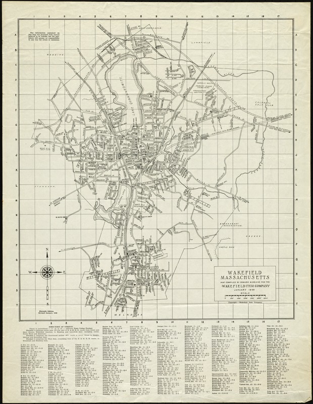
Map depicts entire town of Wakefield in 1948, showing streets, major public buildings, schools, churches, cemeteries, railroad lines and stations, and water towers and wells. At bottom of map is a street and precinct directory.
Includes street index.
- Call #:
-
Local History Map Case Wakefield 1948
- Barcode:
-
31392003576851


