Search Constraints
Search Results


13284. Westindische Inseln


13286. Westliche halbkugel


13288. Weymouth, Mass., 1880


13290. Whale chart

13291. Whale chart


13296. White Haven
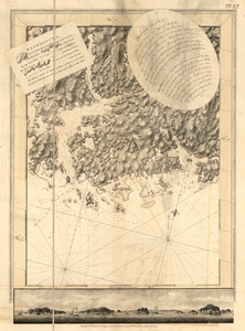
13297. White Haven

13298. White Haven
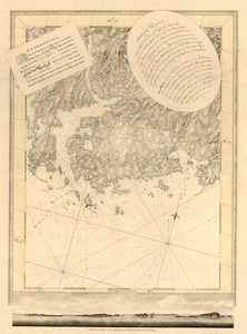
13299. White Haven
