Search Constraints
Search Results


13543. Westindische Inseln


13545. Westliche halbkugel


13547. Weymouth, Mass., 1880


13549. Whale chart

13550. Whale chart


13555. White Haven
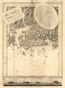
13556. White Haven

13557. White Haven
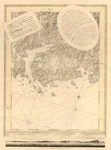
13558. White Haven

