Toggle navigation
LMEC Home
Exhibitions
Georeferencing
Tools for Teachers
Collections
My Favorites
Sign Up / Log In
Search
Search the map portal
Map Collection
Map Collection
Map Sets
Search
Search
Search for
Search In
All Fields
Creator
Title
Subject
Place
Search All Digital Collections
Advanced Search
10961 Results
My Search
Start Over
All Fields
americas
Remove constraint All Fields: americas
Filter your Search
Place
North and Central America
10,354
United States
8,478
Massachusetts
2,796
Suffolk (county)
1,676
Boston
1,632
Canada
937
New York
650
Middlesex (county)
441
more
Place
»
Topic
Boston (Mass.)--Maps
747
City planning--Massachusetts--Boston--Maps
418
United States--History--Revolution, 1775-1783--Maps
327
United States--Maps
320
Real property--Massachusetts--Boston--Maps
254
Urban renewal--Massachusetts--Boston--Maps
254
Massachusetts--Maps
233
Insurance surveys
194
more
Topic
»
Date
Date range begin
–
Date range end
Current results range from
1507
to
2023
View distribution
Creator
Boston Redevelopment Authority
404
United States. Hydrographic Office
366
Des Barres, Joseph F. W. (Joseph Frederick Wallet), 1722-1824
197
Jefferys, Thomas, -1771
150
George, III, King of Great Britain, 1738-1820
146
O.H. Bailey & Co
146
George, IV, King of Great Britain, 1762-1830
145
Royal United Services Institute for Defence and Security Studies
139
more
Creator
»
Format
Maps/Atlases
10,838
Manuscripts
916
Prints
60
Books
43
Drawings/Illustrations
43
Photographs
15
Objects/Artifacts
7
Posters
3
more
Format
»
Georeferenced
Yes
823
No
10,138
Collection
Norman B. Leventhal Map & Education Center Collection
6,635
American Revolutionary War-Era Maps
3,123
Boston and New England Maps
2,918
Urban Maps
2,294
William L. Clements Library Collection
892
Maritime Charts and Atlases
816
Library of Congress Collection
552
Boston Redevelopment Authority Collection
475
more
Collection
»
Available to use
No known restrictions
7,777
Creative Commons license
1,541
Search Constraints
Sort by relevance
relevance
title
date (asc)
date (desc)
Number of results to display per page
20 per page
10
per page
20
per page
50
per page
100
per page
View results as:
grid view
map view
Search Results
10881.
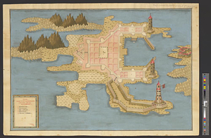
[Lake Ontario]
10882.
Map of Calhoun County, Michigan
10883.
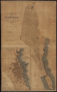
Map of New Bedford
10884.
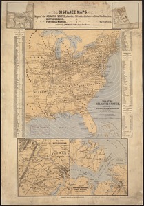
Map of the Atlantic States, showing distances from Washington (in bee line) by 50 mile circles
10885.
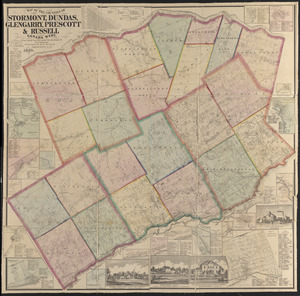
Map of the counties of Stormont, Dundas, Glengarry, Prescott & Russell, Canada West : from actual surveys under the direction...
10886.
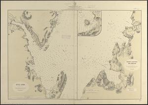
Newfoundland, east coast, harbors in Trinity Bay, sheet II : from British surveys, corrected to 1874
10887.
Plan von Fort Cumberland auf der insel St. Laurenti
10888.
Proposed park system from the Common to the West Roxbury Park including the Back Bay and Muddy river improvements, Jamaica Pond...
10889.
Reconnoissance des ouvrages de Ouët Point : etablis pour couvrir et assurer la communication des états du nord avec ceux du...
10890.
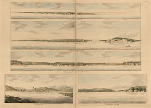
View of the entrance into Annapolis Bason ; View of the north entrance of Grand Passage ; View of Eden and Gascoyne Rivers ......
10891.
West Indies, ports on the south and west coasts of Haiti : from the most recent surveys
10892.
West Indies, special plans to charts no. 26a & b, Bahama Bank : from British surveys, corrected to 1872
10893.
West Point; or Fort Defiance
10894.
Bird's eye view of the city of Holyoke, and village of South Hadley Falls, Mass. looking north
10895.
British Columbia, Shuswap sheet : geologically coloured
10896.
Channels around the Island of Orleans
10897.
County map of Boone, McHenry, Lake, De Kalb, Kane, Du Page, Cook, Kendall, Grundy, Will, and Kankakee
10898.
Gaspee Bay
10899.
Hare Island; Pointe aux Allouettes of Larks Point; English Bank
10900.
Manicouagan Shoals; Havre St. Nicholas; Bay of the Seven Islands
‹ Prev
Next ›
1
2
…
541
542
543
544
545
546
547
548
549
![[Lake Ontario]](https://bpldcassets.blob.core.windows.net/derivatives/images/commonwealth:hx11xz576/image_thumbnail_300.jpg)