West Indies, ports on the south and west coasts of Haiti : from the most recent surveys
Item Information
- Title:
- West Indies, ports on the south and west coasts of Haiti : from the most recent surveys
- Title (alt.):
-
Ports on the south and west coasts of Haiti
- Issuing body:
- United States. Hydrographic Office
- Engraver:
- Franke, M. (Max)
- Printer:
- Leggo Bros. & Co.
- Name on Item:
-
drawn by M. Franke
- Date:
-
1885
- Format:
-
Maps/Atlases
- Location:
-
Boston Public Library
Norman B. Leventhal Map & Education Center - Collection (local):
-
Norman B. Leventhal Map & Education Center Collection
- Subjects:
-
Coasts--Haiti--Maps
Nautical charts--Haiti--Baradères Bay
Nautical charts--Haiti--Cayemites Bay
Nautical charts--Haiti--Aquin Bay
Nautical charts--Haiti--English Bay
Baradères Bay (Haiti)--Maps
Cayemites Bay (Haiti)--Maps
Aquin Bay (Haiti)--Maps
English Bay (Haiti)--Maps
- Places:
-
HaitiNippesBaradères, Baie des (bay)
HaitiGrand'AnseCayemites, Baie des (bay)
HaitiSudAquin
Baie Anglaise
- Extent:
- 2 maps on 1 sheet ; 40 x 27 cm
- Terms of Use:
-
No known copyright restrictions.
No known restrictions on use.
- Publisher:
-
Washington, D.C. :
Hydrographic Office
- Scale:
-
Scale approximately 1:59,900
Scale approximately 1:200,000
- Language:
-
English
- Table of Contents:
-
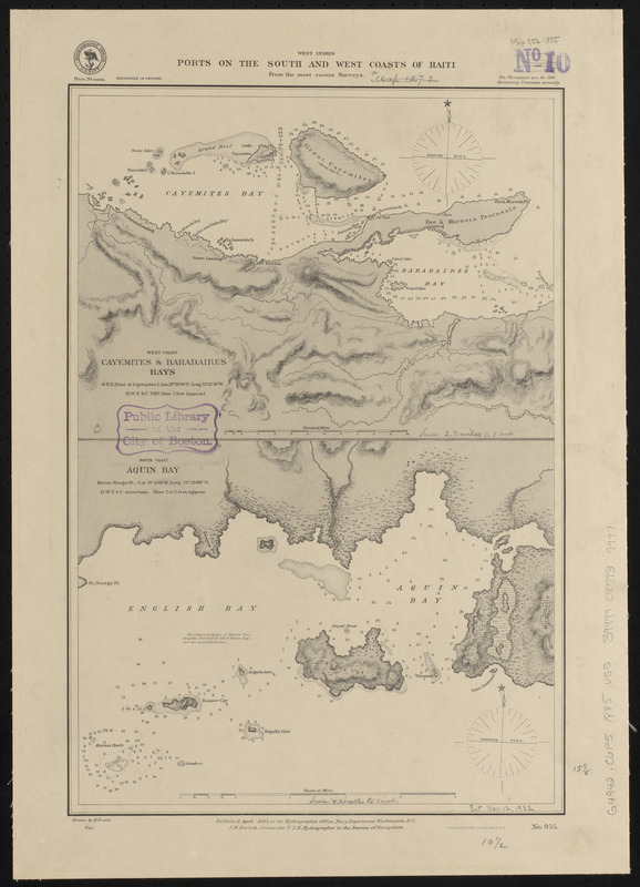
West coast, Cayemites & Baradaires Bays
South coast, Aquin Bay.
- Notes:
-
Relief shown by hachures. Depths shown by soundings and isolines.
- Identifier:
-
06_01_015739
- Call #:
-
G9096.P5 svar .U55
- Barcode:
-
39999085939997


