Toggle navigation
LMEC Home
Exhibitions
Georeferencing
Tools for Teachers
Collections
My Favorites
Sign Up / Log In
Search
Search the map portal
Map Collection
Map Collection
Map Sets
Search
Search
Search for
Search In
All Fields
Creator
Title
Subject
Place
Search All Digital Collections
Advanced Search
10951 Results
My Search
Start Over
All Fields
americas
Remove constraint All Fields: americas
Filter your Search
Place
North and Central America
10,344
United States
8,469
Massachusetts
2,789
Suffolk (county)
1,675
Boston
1,631
Canada
937
New York
649
Middlesex (county)
441
more
Place
»
Topic
Boston (Mass.)--Maps
746
City planning--Massachusetts--Boston--Maps
418
United States--History--Revolution, 1775-1783--Maps
327
United States--Maps
320
Real property--Massachusetts--Boston--Maps
254
Urban renewal--Massachusetts--Boston--Maps
254
Massachusetts--Maps
231
Insurance surveys
194
more
Topic
»
Date
Date range begin
–
Date range end
Current results range from
1507
to
2023
View distribution
Creator
Boston Redevelopment Authority
404
United States. Hydrographic Office
366
Des Barres, Joseph F. W. (Joseph Frederick Wallet), 1722-1824
197
Jefferys, Thomas, -1771
150
George, III, King of Great Britain, 1738-1820
146
O.H. Bailey & Co
146
George, IV, King of Great Britain, 1762-1830
145
Royal United Services Institute for Defence and Security Studies
139
more
Creator
»
Format
Maps/Atlases
10,828
Manuscripts
916
Prints
60
Books
43
Drawings/Illustrations
43
Photographs
15
Objects/Artifacts
7
Posters
3
more
Format
»
Georeferenced
Yes
823
No
10,128
Collection
Norman B. Leventhal Map & Education Center Collection
6,627
American Revolutionary War-Era Maps
3,123
Boston and New England Maps
2,912
Urban Maps
2,289
William L. Clements Library Collection
892
Maritime Charts and Atlases
816
Library of Congress Collection
552
Boston Redevelopment Authority Collection
475
more
Collection
»
Available to use
No known restrictions
7,767
Creative Commons license
1,541
Search Constraints
Sort by relevance
relevance
title
date (asc)
date (desc)
Number of results to display per page
20 per page
10
per page
20
per page
50
per page
100
per page
View results as:
grid view
map view
Search Results
10541.
Proposed Charles River Park
10542.
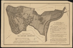
Proposition as to a public ground to include the Harvard Arboretum
10543.
Richards standard atlas of the city of Springfield and the town of Longmeadow, Massachusetts [plate 1]
10544.
Richards standard atlas of the city of Springfield and the town of Longmeadow, Massachusetts [plate 10]
10545.
Richards standard atlas of the city of Springfield and the town of Longmeadow, Massachusetts [plate 9]
10546.
Richmond Petersburg and vicinity
10547.
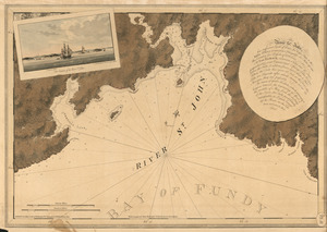
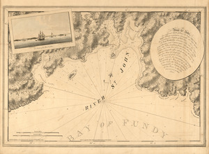
The river St. John
10548.
The river St. John
10549.
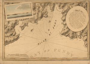
[River St. John]
10550.
The river St. John
10551.
THE RIVER S.T LAURENCE
10552.
A rough draught of New Haven fort
10553.
Scarborough's new county and post office map of Virginia, Maryland, Delaware, and District of Columbia : with complete index...
10554.
The seat of action between the British and American forces or an authentic plan of Staten Island with the neighbouring...
10555.
The seat of action, between the British and American forces or an authentic plan of the western part of Long Island, with the...
10556.
The seat of war : birds eye view of Virginia, Maryland, Delaware, and the District of Columbia
10557.
The Seat of war, in New England
10558.
The seat of war in New England, by an American volunteer : with the marches of the several corps sent by the Colonies towards...
10559.
Shipyard Park phase 3 : Boston Naval Shipyard at Charlestown : schematic design
10560.
Situation des posten zu Denyses Ferry auf Long Island wie solcher den 7ten October 1781 von furste : Braunshweig und Hessen...
‹ Prev
Next ›
1
2
…
524
525
526
527
528
529
530
531
532
…
547
548

![Richards standard atlas of the city of Springfield and the town of Longmeadow, Massachusetts [plate 1]](https://bpldcassets.blob.core.windows.net/derivatives/images/commonwealth:3f463814r/image_thumbnail_300.jpg)
![Richards standard atlas of the city of Springfield and the town of Longmeadow, Massachusetts [plate 10]](https://bpldcassets.blob.core.windows.net/derivatives/images/commonwealth:3f463818v/image_thumbnail_300.jpg)
![Richards standard atlas of the city of Springfield and the town of Longmeadow, Massachusetts [plate 9]](https://bpldcassets.blob.core.windows.net/derivatives/images/commonwealth:3f4638169/image_thumbnail_300.jpg)

![[River St. John]](https://bpldcassets.blob.core.windows.net/derivatives/images/commonwealth:dz010t93f/image_thumbnail_300.jpg)