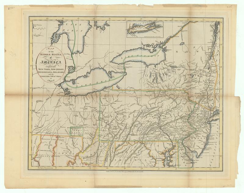
Map of the middle states, of America : comprehends New-York, New-Jersey, Pennsylvania, Delaware, and the territory n:w: of Ohio
This map is also available in American Revolutionary Geographies Online (ARGO), a collections portal especially built for material relating to the American Revolutionary War Era. Visit ARGO to learn more about this item and explore the historical geography of North America in the late eighteenth century.
Item Information
- Title:
- Map of the middle states, of America : comprehends New-York, New-Jersey, Pennsylvania, Delaware, and the territory n:w: of Ohio
- Publisher:
- Russell, J. C. (John C.), Junior
- Name on Item:
-
by J. Russell
- Date:
-
1794
- Format:
-
Maps/Atlases
- Location:
- MacLean Collection Map Library
- Collection (local):
-
MacLean Collection Map Library
- Subjects:
-
Indians of North America--Land tenure
Middle West--Maps
- Places:
-
Midwest (area)
- Extent:
- 1 map ; 369 x 458 mm
- Terms of Use:
-
Public Domain/No known restrictions on use. Contact host institution to download image.
Contact host institution for more information.
- Publisher:
-
London :
Russell, John C.
- Language:
-
English
- Identifier:
-
MC_13734
- Call #:
-
13734


