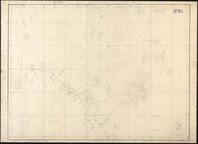
Chart of the north east coast of New Caledonia and part of the New Hebrides
Item Information
- Title:
- Chart of the north east coast of New Caledonia and part of the New Hebrides
- Lithographer:
- Allan, J.
- Date:
-
[1850?–1859?]
- Format:
-
Maps/Atlases
- Genre:
-
Nautical charts
- Location:
-
Boston Public Library
Norman B. Leventhal Map & Education Center - Collection (local):
-
Norman B. Leventhal Map & Education Center Collection
- Subjects:
-
New Caledonia--Maps
Vanuatu--Maps
Nautical charts--New Caledonia
Nautical charts--Vanuatu
- Places:
-
New Caledonia (territory)
Vanuatu
- Extent:
- 1 map ; 45 x 61 cm
- Terms of Use:
-
No known copyright restrictions.
No known restrictions on use.
- Publisher:
-
Sydney :
J. Allan Lith.
- Scale:
-
Scale approximately 1:1,400,000
- Language:
-
English
- Notes:
-
Indicates shoals.
- Identifier:
-
06_01_017530
- Call #:
-
G9341.P5 1850 .C43
- Barcode:
-
39999085960423


