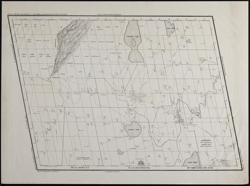
Map of Jaffrey, N.H.
Item Information
- Title:
- Map of Jaffrey, N.H.
- Cartographer:
- Gibbs, Jonathan Danforth, 1796-1882
- Publisher:
- B.W. Thayer & Co.
- Name on Item:
-
by J. D. Gibbs
- Date:
-
1850
- Format:
-
Maps/Atlases
- Location:
-
Boston Public Library
Norman B. Leventhal Map & Education Center - Collection (local):
-
Norman B. Leventhal Map & Education Center Collection
- Subjects:
-
Jaffrey (N.H.)--Maps
- Places:
-
New HampshireCheshire (county)Jaffrey
- Extent:
- 1 map ; 59 x 90 cm, on sheet 74 x 99 cm
- Terms of Use:
-
No known copyright restrictions.
No known restrictions on use.
- Publisher:
-
Boston :
B.W. Thayer & Cos.
- Scale:
-
Scale 1:13,699. 4 5/8 inches to a mile
- Language:
-
English
- Notes:
-
Relief shown by pictorially.
Shows properties and parcels, owners, and buildings.
Homes and buildings depicted by illustrations.
Includes illustration of The first settlement by Joel Russell, 1751.
- Identifier:
-
06_01_018963
- Call #:
-
G3744.J4 1850 .G53
- Barcode:
-
39999085970455


