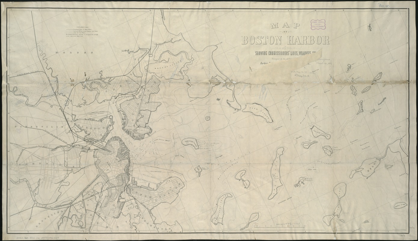
Map of Boston Harbor : showing commissioners' lines, wharves &c
Item Information
- Title:
- Map of Boston Harbor : showing commissioners' lines, wharves &c
- Creator:
- Chesbrough, Ellis Sylvester, 1813-1886
- Name on Item:
-
prepared by order of the Harbor Committee of the City Council of 1852 under the direction of E.S. Chesbrough, city engineer ; drawn by Charles Leonard & M.W. Nicoll.
- Date:
-
[1852]
- Format:
-
Maps/Atlases
- Location:
-
Boston Public Library
Norman B. Leventhal Map & Education Center - Collection (local):
-
Norman B. Leventhal Map & Education Center Collection
- Subjects:
-
Harbors--Massachusetts--Boston--Maps
Boston Harbor (Mass.)--Maps
- Places:
-
MassachusettsBoston Harbor
- Extent:
- 1 map ; 59 x 105 cm.
- Terms of Use:
-
No known copyright restrictions.
No known restrictions on use.
- Publisher:
-
Boston :
Tappan & Bradford's Lith.
- Scale:
-
Scale 1:20,340.
- Language:
-
English
- Notes:
-
Relief shown by contours.
Shows also original shoreline and parts of Cambridge, Charlestown, East Boston, Boston, and South Boston.
- Notes (date):
-
This date is inferred.
- Identifier:
-
06_01_005897
- Call #:
-
G3762.B65 1852 .C4
- Barcode:
-
39999059015089


