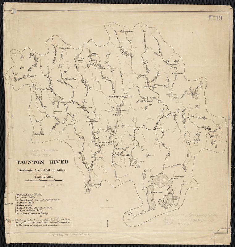
Taunton River : drainage area 450 sq. miles
Item Information
- Title:
- Taunton River : drainage area 450 sq. miles
- Creator:
- Massachusetts. State Board of Health
- Date:
-
[1876]
- Format:
-
Maps/Atlases
- Location:
-
Boston Public Library
Norman B. Leventhal Map & Education Center - Collection (local):
-
Norman B. Leventhal Map & Education Center Collection
- Subjects:
-
Taunton River (Mass.)--Maps
- Places:
-
MassachusettsTaunton (river)
- Extent:
- 1 map ; 53 x 53 cm.
- Terms of Use:
-
No known copyright restrictions.
No known restrictions on use.
- Publisher:
-
Boston, Mass :
Massachusetts State Board of Health
- Scale:
-
Scale 1:88,704.
- Language:
-
English
- Notes (date):
-
This date is inferred.
- Identifier:
-
06_01_002676
- Call #:
-
G3762.T4 1876 .M3
- Barcode:
-
39999058997022


