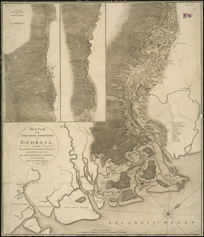
Sketch of the northern frontiers of Georgia, extending from the mouth of the River Savannah to the town of Augusta
This map is also available in American Revolutionary Geographies Online (ARGO), a collections portal especially built for material relating to the American Revolutionary War Era. Visit ARGO to learn more about this item and explore the historical geography of North America in the late eighteenth century.
Item Information
- Title:
- Sketch of the northern frontiers of Georgia, extending from the mouth of the River Savannah to the town of Augusta
- Creator:
- Campbell, Archibald, Sir, 1739-1791
- Name on Item:
-
by Archibald Campbell ; engraved by Willm. Faden.
- Date:
-
1780
- Format:
-
Maps/Atlases
- Location:
-
Boston Public Library
Norman B. Leventhal Map & Education Center - Collection (local):
-
Norman B. Leventhal Map & Education Center Collection
- Subjects:
-
Savannah River Valley (Ga. and S.C.)--Maps--Early works to 1800
Georgia--Boundaries--South Carolina--Maps--Early works to 1800
South Carolina--Boundaries--Georgia--Maps--Early works to 1800
- Places:
-
South Carolina
Savannah River
Georgia
- Extent:
- 1 map ; 69 x 60 cm.
- Terms of Use:
-
No known copyright restrictions.
No known restrictions on use.
- Publisher:
-
London :
Wm. Faden
- Scale:
-
Scale ca. 1:110,000.
- Language:
-
English
- Notes:
-
Relief shown by hachures.
Oriented with north toward the upper right.
Includes 2 insets of "Continuation of Savanna River, from Ebenezer to Augusta" and index of "References to the attack of Savannah on the 28th December 1778."
- Identifier:
-
06_01_004083
- Call #:
-
G3922.S3 1780 .C36
- Barcode:
-
39999059022226
- LCCN:
-
73694481


