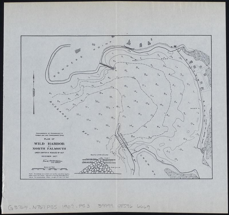
Plan of Wild Harbor at North Falmouth : under chapter 112 resolves of 1907
Item Information
- Title:
- Plan of Wild Harbor at North Falmouth : under chapter 112 resolves of 1907
- Contributor:
- Hodgdon, Frank W.
- Issuing body:
- Board of Harbor and Land Commissioners of Massachusetts
- Printer:
- Wright & Potter
- Name on Item:
-
Frank W. Hodgdon, chief engineer
- Date:
-
[1908]
- Format:
-
Maps/Atlases
- Location:
-
Boston Public Library
Norman B. Leventhal Map & Education Center - Collection (local):
-
Norman B. Leventhal Map & Education Center Collection
- Subjects:
-
North Falmouth (Mass.)--Maps
Harbors--Massachusetts--North Falmouth--Maps
- Places:
-
MassachusettsBarnstable (county)North Falmouth
- Extent:
- 1 map ; 16 x 21 cm, on sheet 23 x 25 cm
- Terms of Use:
-
No known copyright restrictions.
No known restrictions on use.
- Publisher:
-
[Boston] :
[Wright & Potter Printing Co.]
- Scale:
-
Scale approximately 1:5,000
- Language:
-
English
- Notes:
-
Depths shown by soundings and isolines. Relief shown by hachures.
"December 1907."
Includes Section of breakwater.
Detached from Public document No. 11, 29th Annual report of the Board of Harbor and Land Commissioners, for the year 1907 (Boston : Wright & Potter Printing Co., 1908).
- Notes (date):
-
This date is inferred.
- Identifier:
-
06_01_018353
- Call #:
-
G3764.N767P55 1907 .P53
- Barcode:
-
39999085966669


