The gold and coal fields of Alaska : together with the principal steamer routes and trails
Item Information
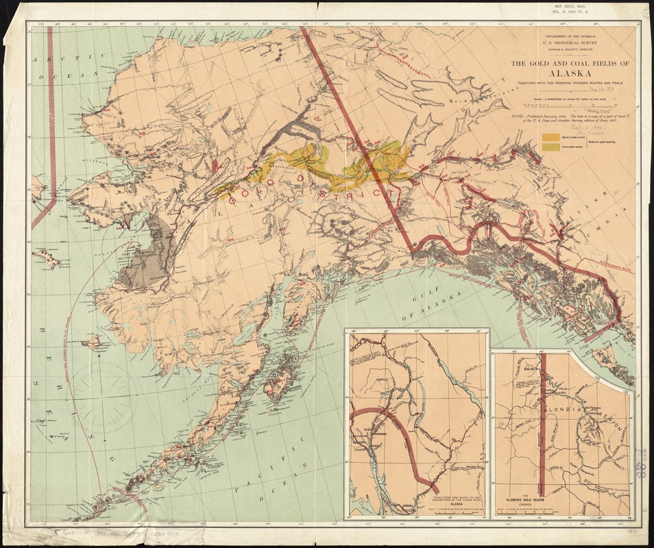
- Title:
- The gold and coal fields of Alaska : together with the principal steamer routes and trails
- Creator:
- Geological Survey (U.S.)
- Name on Item:
-
U.S. Geological Survey.
- Date:
-
1898
- Format:
-
Maps/Atlases
- Location:
-
Boston Public Library
Norman B. Leventhal Map & Education Center - Collection (local):
-
Norman B. Leventhal Map & Education Center Collection
- Subjects:
-
Gold--Alaska--Maps
Coal--Alaska--Maps
Steamboat lines--Alaska--Maps
Trails--Alaska--Maps
- Places:
-
Alaska
- Extent:
- 1 map : col. ; 60 x 73 cm.
- Terms of Use:
-
No known copyright restrictions.
No known restrictions on use.
- Publisher:
-
[Washington, D.C.] :
U.S.Geological Survey
- Scale:
-
Scale 1:3,600,000. About 57 miles to one inch
- Language:
-
English
- Notes:
-
Relief shown in hachures.
Includes parts of the Yukon Territory and northern British Columbia.
Insets: The Klondike gold region, Canada -- Trails from Tide Water to the headwaters of the Yukon River, Alaska.
"Nat. Geo. Mag. vol. IX, 1898, pl. 4."--Upper right.
- Identifier:
-
06_01_011394
- Call #:
-
G4371.H1 1898 .G46
- Barcode:
-
39999065684019
- LCCN:
-
2006629762


