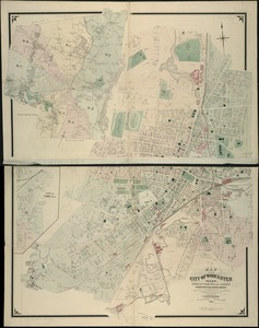
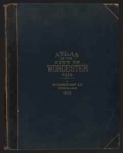
Richards standard atlas of the City of Worcester Massachusetts : containing thirty-one double page maps in colors, covering the entire city, showing every lot line, building, owners' name, electric and steam railways, water mains, etc. ...
Item Information
- Title:
- Richards standard atlas of the City of Worcester Massachusetts : containing thirty-one double page maps in colors, covering the entire city, showing every lot line, building, owners' name, electric and steam railways, water mains, etc. ...
- Title (alt.):
-
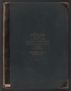
Atlas of the city of Worcester Mass.
- Cartographer:
- Richards, Harold H. (Harold Hazen)
- Publisher:
- Richards Map Company
- Name on Item:
-
under personal direction of Harold H. Richards c.e.
- Date:
-
1922
- Format:
-
Maps/Atlases
- Location:
-
Boston Public Library
Norman B. Leventhal Map & Education Center - Collection (local):
-
Norman B. Leventhal Map & Education Center Collection
- Subjects:
-
Worcester (Mass.)--Maps
Real property--Massachusetts--Worcester--Maps
Landowners--Massachusetts--Worcester--Maps
- Places:
-
MassachusettsWorcester (county)Worcester
- Extent:
- 1 atlas ([4] p., 31 leaves (double)) : col. maps ; 57 cm.
- Terms of Use:
-
No known copyright restrictions.
No known restrictions on use.
- Publisher:
-
Springfield, Mass. :
Richards Map Co.
- Language:
-
English
- Notes:
-
Includes index.
- Identifier:
-
06_01_018563
- Call #:
-
G1234.W9 R53 1922
- Barcode:
-
39999059016038