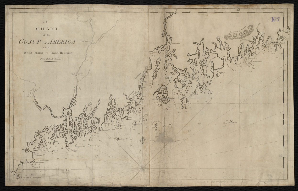
A chart of the Coast of America from Wood Island to Good Harbour from Hollands surveys
Item Information
- Title:
- A chart of the Coast of America from Wood Island to Good Harbour from Hollands surveys
- Publisher:
- Allen, Andrew J., 1784 or 1785-1863
- Date:
-
[1816]
- Format:
-
Maps/Atlases
- Location:
-
Boston Public Library
Norman B. Leventhal Map & Education Center - Collection (local):
-
Norman B. Leventhal Map & Education Center Collection
- Subjects:
-
Coasts--Maine--Maps--Early works to 1800
Nautical charts--Maine--Maps--Early works to 1800
Maine--Maps--Early works to 1800
- Places:
-
Maine
- Extent:
- 1 map ; 52 x 85 cm
- Terms of Use:
-
No known copyright restrictions.
No known restrictions on use.
- Publisher:
-
[Boston] :
[Andrew J. Allen]
- Scale:
-
Scale approximately 1:281,000
- Language:
-
English
- Notes:
-
Relief shown by hachures. Depths shown by soundings.
In The American pilot. Boston : Andrew J. Allen, [1816].
- Notes (date):
-
This date is inferred.
- Identifier:
-
06_01_004815
- Call #:
-
G1106.P5 A4 1816x
- Barcode:
-
30000005069392