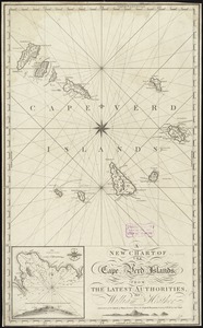
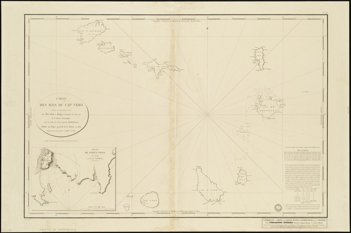
Carte des Isles du Cap Verd : levée en 1819 1820 et 1822
Item Information
- Title:
- Carte des Isles du Cap Verd : levée en 1819 1820 et 1822
- Name on Item:
-
par M.M. Vidal et Mudge ... sous les ordres de M. le Capitaine Bartholomew ; Gravé par Michel ; Ecrit par Hacq.
- Date:
-
[1831]
- Format:
-
Maps/Atlases
- Location:
-
Boston Public Library
Norman B. Leventhal Map & Education Center - Collection (local):
-
Norman B. Leventhal Map & Education Center Collection
- Subjects:
-
Nautical charts--Cape Verde
Cape Verde--Maps
- Places:
-
Cape Verde
- Extent:
- 1 map ; 56 x 85 cm.
- Terms of Use:
-
No known copyright restrictions.
No known restrictions on use.
- Publisher:
-
Bordeaux :
Dépot-général de la Marine
- Scale:
-
Scale [ca. 1:491,000].
- Language:
-
French
- Notes:
-
Depths shown by soundings.
Oriented with north toward the upper left.
Inset: Plan de Porto Praya.
Longitude west from Paris.
- Notes (date):
-
This date is inferred.
- Identifier:
-
06_01_004762
- Call #:
-
G9160 1831 .C3x
- Barcode:
-
39999059007474