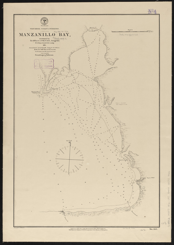
West Indies, n. coast of St. Domingo, Manzanillo Bay
Item Information
- Title:
- West Indies, n. coast of St. Domingo, Manzanillo Bay
- Title (alt.):
-
Manzanillo Bay
- Issuing body:
- United States. Hydrographic Office
- Name on Item:
-
surveyed by the officers of the U.S.S. "Congress," W.K. Mayo, Comdr., U.S.N. com'dg. 1871
- Date:
-
1872
- Format:
-
Maps/Atlases
- Location:
-
Boston Public Library
Norman B. Leventhal Map & Education Center - Collection (local):
-
Norman B. Leventhal Map & Education Center Collection
- Subjects:
-
Nautical charts--Manzanillo Bay (Dominican Republic and Haiti)
Manzanillo Bay (Dominican Republic and Haiti)--Maps
- Places:
-
Manzanillo Bay
- Extent:
- 1 map ; 61 x 42 cm
- Terms of Use:
-
No known copyright restrictions.
No known restrictions on use.
- Publisher:
-
Washington, D.C. :
Hydrographic Office
- Scale:
-
Scale approximately 1:18,000
- Language:
-
English
- Notes:
-
Depths shown by soundings and isolines.
- Identifier:
-
06_01_015680
- Call #:
-
G9096.P5 svar .U55
- Barcode:
-
39999085939526


