North America, east coast, coast of Labrador from Cape St. Charles to Sandwich Bay : from British surveys to 1882
Item Information
- Title:
- North America, east coast, coast of Labrador from Cape St. Charles to Sandwich Bay : from British surveys to 1882
- Title (alt.):
-
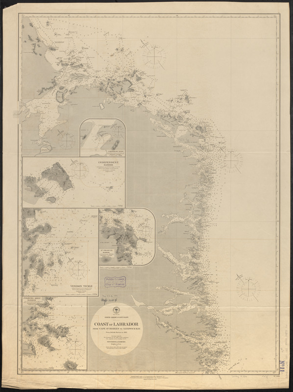
Coast of Labrador from Cape St. Charles to Sandwich Bay
- Issuing body:
- United States. Hydrographic Office
- Date:
-
1887
- Format:
-
Maps/Atlases
- Location:
-
Boston Public Library
Norman B. Leventhal Map & Education Center - Collection (local):
-
Norman B. Leventhal Map & Education Center Collection
- Subjects:
-
Coasts--Newfoundland and Labrador--Labrador--Maps
Nautical charts--Newfoundland and Labrador--Labrador
Labrador (N.L.)--Maps
- Places:
-
CanadaNewfoundland and Labrador (province)Labrador (area)
- Extent:
- 1 map ; 95 x 70 cm
- Terms of Use:
-
No known copyright restrictions.
No known restrictions on use.
- Publisher:
-
Washington, D.C. :
Hydrographic Office
- Edition:
- Edition of September 1887
- Scale:
-
Scale approximately 1:240,000
- Language:
-
English
- Notes:
-
Relief shown by hachures and spot heights. Depths shown by soundings and isolines.
Insets: Cartwright Harbr. -- Independent Harbor -- Venison Tickle -- St. Francis Harbor -- Fishing Ship Harbor.
- Identifier:
-
06_01_015692
- Call #:
-
G9096.P5 svar .U55
- Barcode:
-
39999085939161


