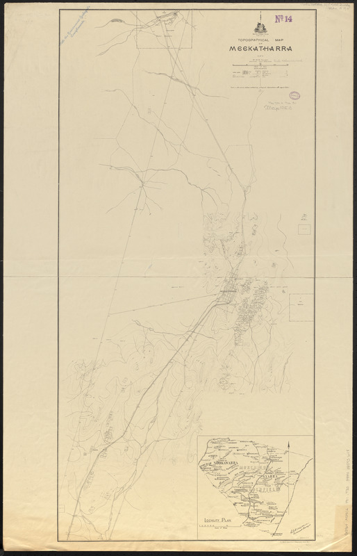
Topographical map of Meekatharra
Item Information
- Title:
- Topographical map of Meekatharra
- Cartographer:
- Talbot, H. W. B.
- Cartographer:
- Maitland, A. Gibb
- Cartographer:
- Irwin, R. H.
- Lithographer:
- Pether, H. J.
- Publisher:
- Geological Survey of Western Australia
- Name on Item:
-
H.W.B Talbot, assistant field geologist ; A. Gibb Maitland, government geologist ; R.H. Irwin, del.
- Date:
-
1911
- Format:
-
Maps/Atlases
- Location:
-
Boston Public Library
Norman B. Leventhal Map & Education Center - Collection (local):
-
Norman B. Leventhal Map & Education Center Collection
- Subjects:
-
Meekatharra (W.A.)--Maps
Topographic maps
- Places:
-
AustraliaWestern AustraliaMeekatharra
- Extent:
- 1 map ; 98 x 47 cm
- Terms of Use:
-
No known copyright restrictions.
No known restrictions on use.
- Publisher:
-
[Perth, Western Australia] ; Perth :
[Geological Survey of Western Australia] ; H.J. Pether, government lithographer
- Scale:
-
Scale approximately 1:31,680
- Language:
-
English
- Notes:
-
Relief shown by contours.
Inset: Locality plan.
Also shows mining leases.
"Note - a second edition containing geological information will appear later."
- Identifier:
-
06_01_015392
- Call #:
-
G8964.M39C2 1911 .T35
- Barcode:
-
39999085936118


