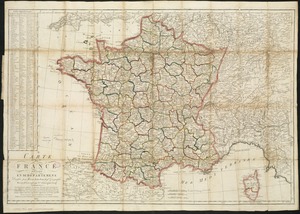
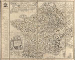
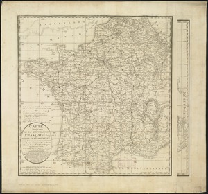
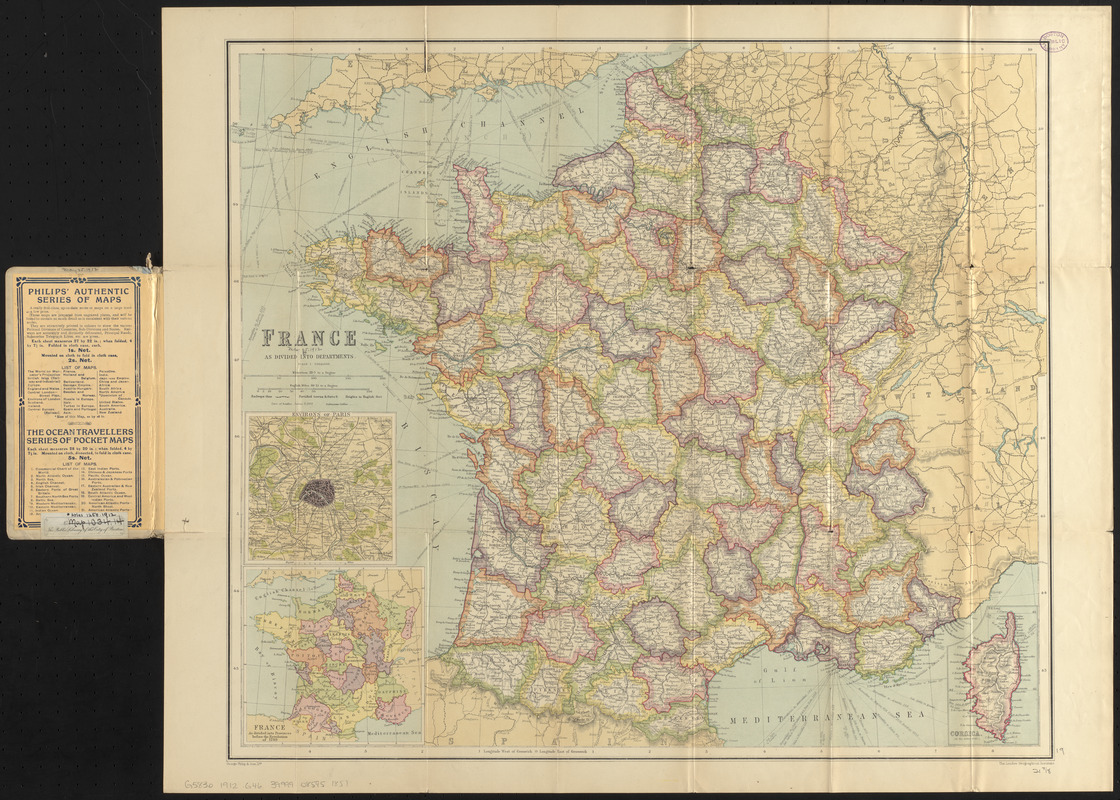
France as divided into departments
Item Information
- Title:
- France as divided into departments
- Cartographer:
- George Philip & Son
- Contributor:
- London Geographical Institute
- Name on Item:
-
George Philip & Son
- Date:
-
1912
- Format:
-
Maps/Atlases
- Location:
-
Boston Public Library
Norman B. Leventhal Map & Education Center - Collection (local):
-
Norman B. Leventhal Map & Education Center Collection
- Subjects:
-
France--Administrative and political divisions--Maps
France--Maps
Topographic maps
- Places:
-
France
- Extent:
- 1 map : color ; 49 x 56 cm, folded in cover 19 x 10 cm
- Terms of Use:
-
No known copyright restrictions.
No known restrictions on use.
- Publisher:
-
London :
George Philip & Son ; London Geographical Institute
- Scale:
-
Scale 1:2,000,000
- Language:
-
English
- Notes:
-
Relief shown by hachures and spot heights.
Insets: Environs of Paris -- France as divided into Provinces before the Revolution of 1789 -- Corsica.
Date of publication estimated from date of acquisition.
- Identifier:
-
06_01_016740
- Call #:
-
G5830 1912 .G46
- Barcode:
-
39999085951851