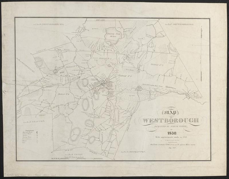
A map of Westborough
Item Information
- Title:
- A map of Westborough
- Surveyor:
- Fisher, Nahum
- Lithographer:
- T. Moore's Lithography
- Name on Item:
-
surveyed by Nahum Fisher in 1830, with improvements made in 1837
- Date:
-
1837
- Format:
-
Maps/Atlases
- Location:
-
Boston Public Library
Norman B. Leventhal Map & Education Center - Collection (local):
-
Norman B. Leventhal Map & Education Center Collection
- Subjects:
-
Westborough (Mass.)--Maps
Landowners--Massachusetts--Westborough--Maps
- Places:
-
MassachusettsWorcester (county)Westborough
- Extent:
- 1 map ; 44 x 59 cm
- Terms of Use:
-
No known copyright restrictions.
No known restrictions on use.
- Publisher:
-
Boston :
T. Moore's Lithy
- Scale:
-
Scale 1:19,800. 100 rods to an inch
- Language:
-
English
- Notes:
-
May 1837.
Relief shown by hachures.
Names of property owners shown.
- Identifier:
-
06_01_018742
- Call #:
-
G3764.W56 1837 .F57
- Barcode:
-
39999085970208


