World Map Sort Activity Introduction
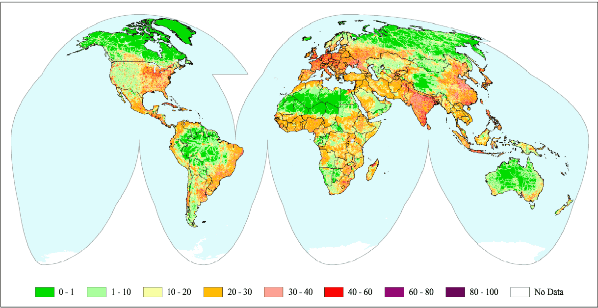
This exercise asks students to consider different types of maps they may encounter and to think critically about what maps show and don't show. There are a variety of different ways to facilitate this exercise and we've included several below. The maps included here are examples of some we use in the Leventhal Map & Education Center's collections.
Working with printed copies of maps is ideal so students can manipulate them and put them in piles as they talk. You may have other printed world maps in your classroom you want to add to the choices. We recommend using no more than 10 maps. If using the digital maps, students can make lists as they work and report out on the categories they make.
Students can click on the maps in this set to zoom in and read more in the digital collections.
Instructions
1. Divide students into small groups.
2. Ask students to first look at all of the maps in this set. Then, each group needs to create at least three categories of any type to put the maps into. Push students to think beyond basic categories (old maps, new maps, etc.) and ask them to consider other aspects of how the maps show their information.
3. Groups share their categories. As students share, write down the terms and vocabulary they use (purpose of maps, map tools like compass or legend, etc.).
What did you discuss as you made the categories?
Were there maps that you had a hard time putting in a category? Why?
What did this process tell you about the different purposes a map might have?
4. If you want to extend this activity, you could ask the groups to go back again and sort their maps into two new categories. Or ask students to sort the maps based on the question: how would someone use this map?
5. Keep track of terms students use as well as their categories to refer to as you move forward in your class as you use different maps as sources.


![[Map of the world]](https://bpldcassets.blob.core.windows.net/derivatives/images/commonwealth:79408320r/image_thumbnail_300.jpg)


