Showrooms d6ac7a48c7d1f06c24a24a4596bc20aa2d79c1f96535e52f6e7a40bb244f94ca

Exhibitions

View over a dozen map-related exhibitions by the Leventhal Map & Education Center, produced from 2004 to present.

Georeferenced map b61c6be8cab8047c4811500026c255b863e260dd5fc95939c52802f9a522a0aa

Georeferencing

Overlay historic maps on modern-day maps. Search and browse georeferenced maps. Help enhance our digital collections.

Tools for teachers da201ea4aaedaaf333c5bb3e6114703d761cbd4bab1308ad262ce89ed43a4178

For Educators

Search and create map-related educational materials for use in the classroom.


Collections of Distinction

View all Digital Collections
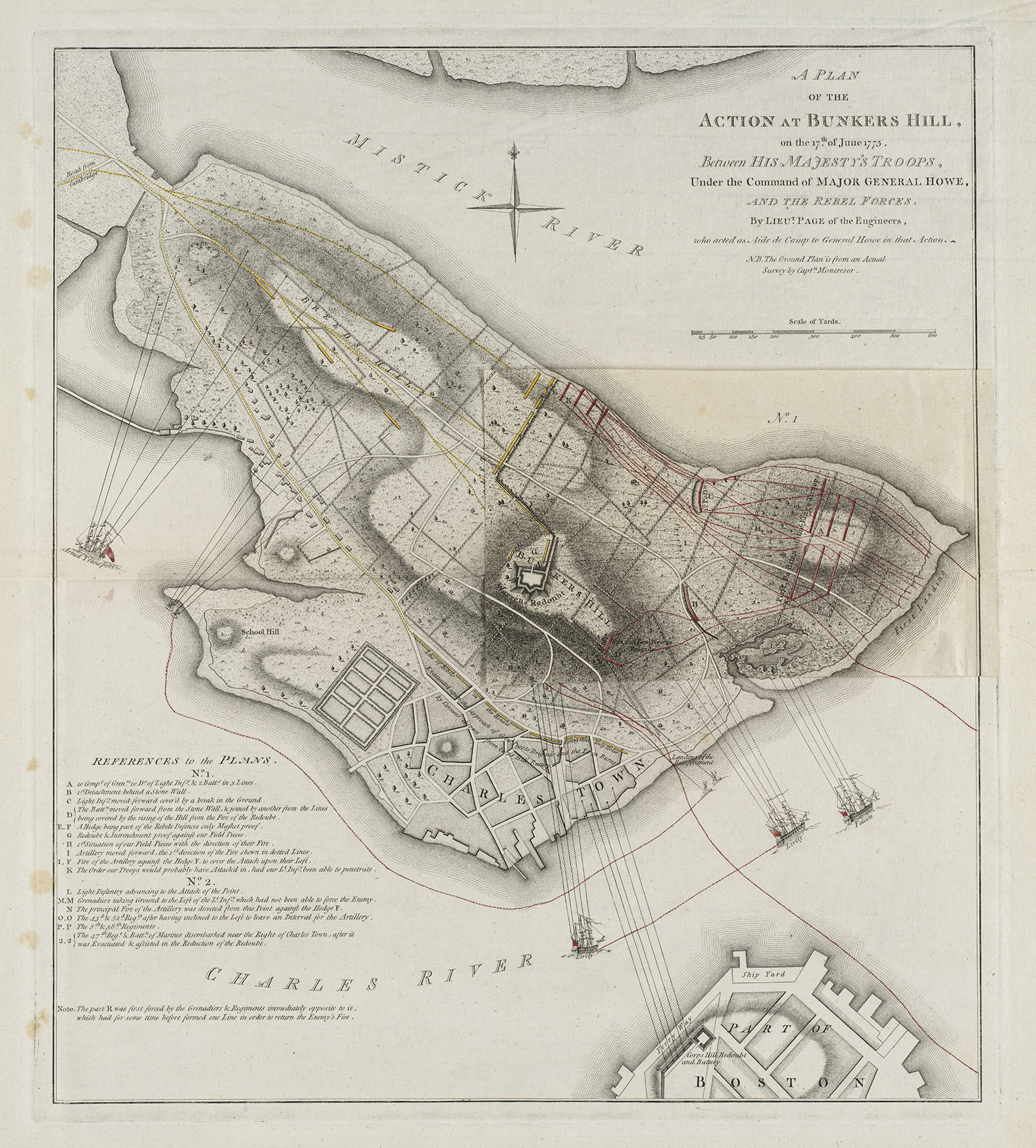
American Revolutionary War-Era Maps (Collection of Distinction)

American Revolutionary War-Era Maps

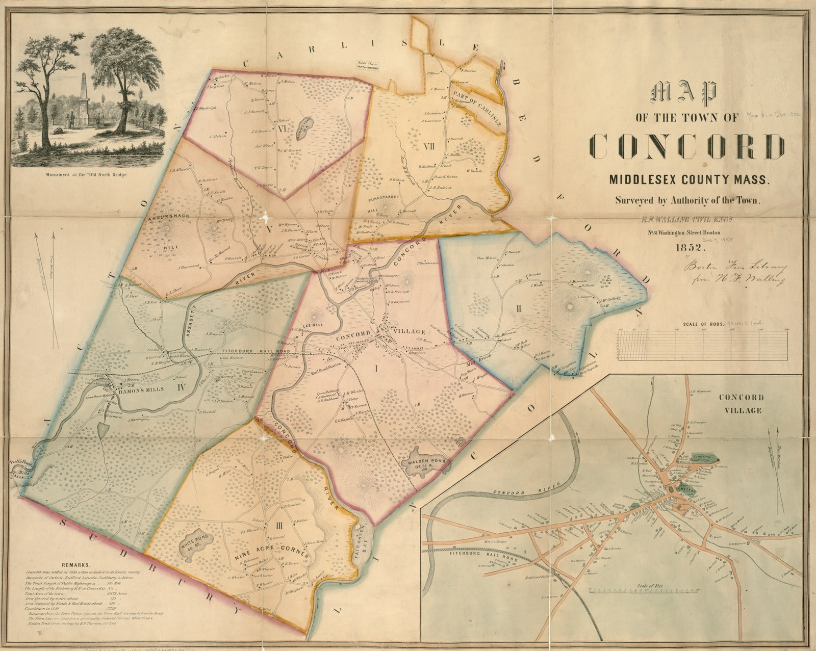
Boston and New England Maps (Collection of Distinction)

Boston and New England Maps

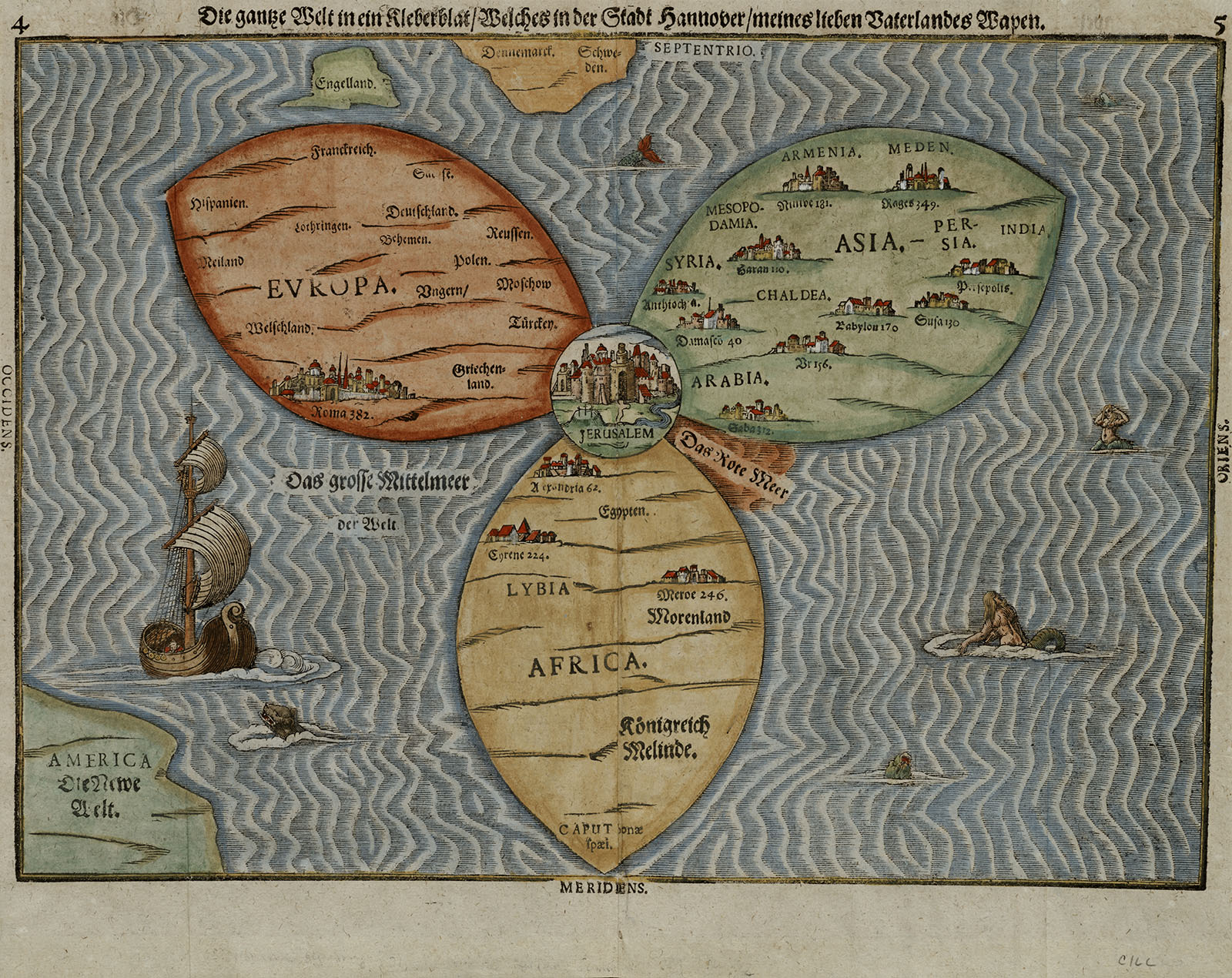
Maritime Charts and Atlases (Collection of Distinction)

Maritime Charts and Atlases

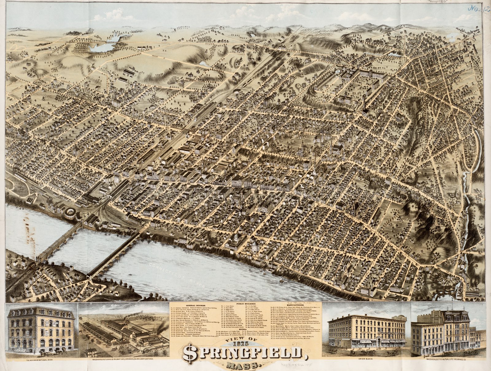
Urban Maps (Collection of Distinction)

Urban Maps