Toggle navigation
LMEC Home
Exhibitions
Georeferencing
Tools for Teachers
Collections
My Favorites
Sign Up / Log In
Search
Search the map portal
Map Collection
Map Collection
Map Sets
Search
Search
Search for
Search In
All Fields
Creator
Title
Subject
Place
Search All Digital Collections
Advanced Search
179 Results
My Search
Start Over
1884
Remove constraint 1884
Filter your Search
Place
North and Central America
146
United States
118
Suffolk (county)
35
Boston
34
Canada
13
Massachusetts
8
New York
8
Europe
6
more
Place
»
Topic
Boston (Mass.)--Maps
26
Fortification--Massachusetts--Boston--Maps
14
Landowners--Massachusetts--Boston--Maps
5
Real property--Massachusetts--Boston--Maps
5
Roxbury (Boston, Mass.)--Maps
5
Massachusetts--Maps
4
Cambridge (Mass.)--Maps
3
Charlestown (Boston, Mass.)--Maps
3
more
Topic
»
Date
Date range begin
–
Date range end
Current results range from
1694
to
1932
View distribution
Creator
Boynton, George W., d. 1884
24
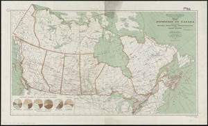
United States. Hydrographic Office
15
O.H. Bailey & Co
14
Geo. H. Walker & Co.
10
Johnson, A. J. (Alvin Jewett), 1827-1884
9
Boynton, George W., -1884
8
Campbell-Copeland, T. (Thomas)
7
Harper & Brothers
7
more
Creator
»
Format
Maps/Atlases
178
Books
3
Manuscripts
2
Prints
1
Georeferenced
Yes
21
No
158
Collection
Norman B. Leventhal Map Center Collection
167
Urban Maps
86
Boston and New England Maps
75
Maritime Charts and Atlases
20
Massachusetts Real Estate Atlases
6
Robert E. Diefenbach Map Collection at Phillips Academy
4
Mapping Boston Collection
1
Ralph Finos Map Collection at Phillips Academy
1
more
Collection
»
Available to use
No known restrictions
171
Creative Commons license
1
Search Constraints
Sort by relevance
relevance
title
date (asc)
date (desc)
Number of results to display per page
100 per page
10
per page
20
per page
50
per page
100
per page
View results as:
grid view
map view
Search Results
1.
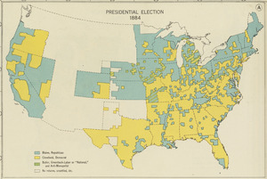
Presidential election 1884
2.
Map of Boston, 1884
3.
Bristol, Grafton County, N.H. 1884
4.
Map of Boston, for 1884
5.
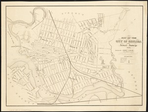
Map of the city of Somerville 1884
6.
Map shewing the railways of Canada, to accompany annual report on railway statistics 1884
7.
Mt. Pleasant, Michigan : 1884
8.
Barre, Washington County, Vt : 1884
9.
Lebanon, Grafton County, N.H : 1884
10.
Arlington, Massachusetts : 1884
11.
The city of Richmond, Indiana : 1884
12.
Clare, Mich : 1884
13.
Coleman, Michigan : 1884
14.
Hillsborough-Bridge, Hillsborough County, N.H : 1884
15.
Lyndonville, Caledonia County, Vermont : 1884
16.
Map of the city of Chelsea from actual surveys : 1884
17.
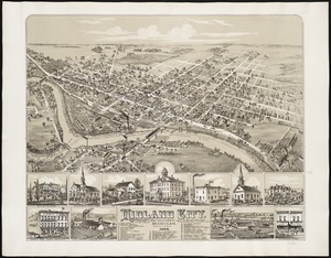
Midland City, Michigan : 1884
18.
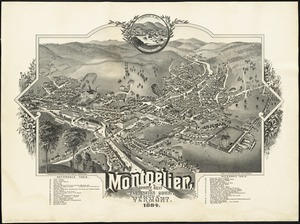
Montpelier, county seat of Washington County & capital of Vermont : 1884
19.
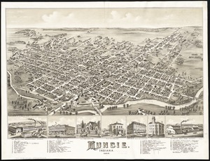
Muncie, Indiana : 1884
20.
New Castle, Indiana : 1884
21.
New map of Hampden & Hampshire counties : 1884
22.
Tilton, N.H., Belknap County : 1884
23.
Village of Barnstable, seat of Barnstable County, Mass : 1884
24.
Pittsfield, Merrimackcounty [sic], N.H : 1884
25.
St. Johnsbury, county seat of Caledonia County, Vt : 1884
26.
Pittsfield, Merrimackcounty [sic], N.H : 1884
27.
Shamokin : Pennsylvania, 1884
28.
Franklin and Franklin Falls, N.H : Merrimack County, 1884
29.
South New Market : Rockingham County, N.H. 1884
30.
Rochester, N.H : Gonic and East-Rochester, 1884
31.
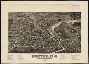
Exeter, N.H : county seat of Rockingham County, 1884
32.
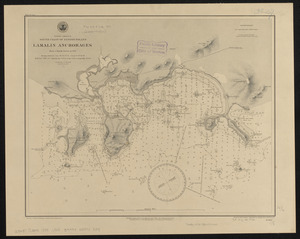
North America, south coast of Newfoundland, Lamalin anchorages : from a British survey in 1884
33.
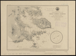
North America, Newfoundland, Despair Bay, Great Jervis Harbor : from a British survey in 1884-5
34.
Map of the railroads of the state of Massachusetts : accompanying the report of the Railroad Commissioners : 1884
35.
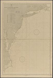
North America, Atlantic coast of the United States, Buzzard's Bay to Cape Lookout : compiled from the latest United States...
36.
North America, Atlantic coast of the United States, Cape Hatteras to Cape Canaveral : compiled from the latest U.S. coast and...
37.
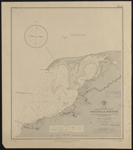
South America, United States of Colombia, Savanilla Harbor : from the latest surveys with corrections by U.S.S. Albatross,...
38.
How the public domain has been squandered, map showing the 139,403,026 acres of the people's land - equal to 871,268 farms of...
39.
Azores or Western Islands
40.
A draught of Boston Harbor by Capt. Cyprian Southake
41.
Colony of Queensland (Australia)
42.
Worcestershire and Gloucestershire
43.
Chikyū bankoku hōzu
44.
Eizan chōjō hitome happō chōkanzu
45.
Map of the canals and rail roads for transporting anthracite coal from the several coal fields to the city of New York
46.
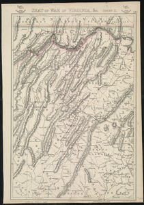
Seat of war in Virginia
47.
Seat of war in Virginia, &c
48.
North Atlantic track chart
49.
Boston
50.
Map of New England exhibiting the rail road and telegraphic lines now in operation
51.
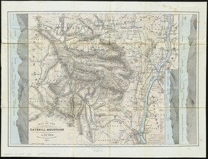
Map of the Catskill Mountains
52.
Map of the United States, from the latest surveys : with the heights of mountains and length of the principle rivers
53.
Map of the vicinity of Boston
54.
A new & complete map of the city of Boston, and precincts including part of Charlestown, Cambridge & Roxbury : from the best...
55.
A new & complete map of the city of Boston, with part of Charlestown, Cambridge & Roxbury
56.
A new & complete map of the city of Boston, with part of Charlestown, Cambridge & Roxbury
57.
A new & complete map of the city of Boston, with part of Charlestown, Cambridge & Roxbury
58.
New map of Boston, comprising the whole city, with the new boundaries of the wards
59.
New map of Boston, comprising the whole city, with the new boundaries of the wards
60.
New map of Boston, comprising the whole city, with the new boundaries of the wards
61.
New map of Boston, comprising the whole city, with the new boundaries of the wards
62.
New map of Boston, comprising the whole city, with the new boundaries of the wards
63.
New map of Boston, comprising the whole city, with the new boundaries of the wards
64.
New map of Boston, comprising the whole city, with the new boundaries of the wards
65.
New map of Boston, comprising the whole city, with the new boundaries of the wards
66.
New map of Boston, comprising the whole city, with the new boundaries of the wards
67.
New map of Boston, comprising the whole city, with the new boundaries of the wards
68.
Plan of the city of Boston
69.
Plan of the city of Boston
70.
Plan of the city of Boston
71.
Plan of the city of Boston
72.
Plan of the city of Boston
73.
Mountain region of North Carolina and Tennessee
74.
Boston and vicinity
75.
Johnson's Florida
76.
Johnson's Massachusetts Connecticut and Rhode Island
77.
Johnson's new rail road & county copper plate map of the Southern States from the latest and best information
78.
Johnson's North America
79.
Johnson's Virginia, Delaware, Maryland & West Virginia
80.
Philip's new plan of London
81.
New Orleans, the Crescent City, Lake Ponchartrain in the distance
82.
Map of the Dominion of Canada : indicating natural resources, transportation and trade routes
83.
Map of the Dominion of Canada : indicating natural resources, transportation and trade routes
84.
Retreat of the Marquis de Lafayette from Barren Hill, May 20th, 1778
85.
Norway, west coast : from Norwegian surveys, with corrections to 1886
86.
Taputeouea or Drummond's Island, Kingsmill Group ; Peacock's anchorage at Drummond's Island, Kingsmill Group
87.
Map of the south Atlantic coast and a portion of the territory tributary thereto : to accompany proceedings of South Atlantic...
88.
North America, west coast of Central America, Corinto Harbor
89.
Map of the city of Lowell : surveyed in 1841 by order of the principal authorities
90.
New York
91.
New-England
92.
Transportation lines between the United States and Mexico, showing differences of elevation
93.
Topographic map of Massachusetts and Rhode Island
94.
Preliminary study of a plan for a Pleasure Bay between Dorchester Point and Castle Island
95.
British Columbia Railway Belt : Port Moody and Yale sheet, west of sixth & seventh meridians : map showing disposition of lands
96.
British Columbia Railway Belt, Kamloops and Lytton sheet : west of sixth & seventh meridians : map showing disposition of lands
97.
Localities of one thousand cases of intestinal diseases (diarrhoea, cholera-infantum & dysentery) in children, for the months...
98.
Southern British Columbia : map showing disposition of lands
99.
Imperial Federation, map of the world showing the extent of the British Empire in 1886
100.
The graphic map of European possessions in Africa
‹ Prev
Next ›
1
2


![Pittsfield, Merrimackcounty [sic], N.H](https://bpldcassets.blob.core.windows.net/derivatives/images/commonwealth:x633fd276/image_thumbnail_300.jpg)

![Pittsfield, Merrimackcounty [sic], N.H](https://bpldcassets.blob.core.windows.net/derivatives/images/commonwealth:3f463513v/image_thumbnail_300.jpg)