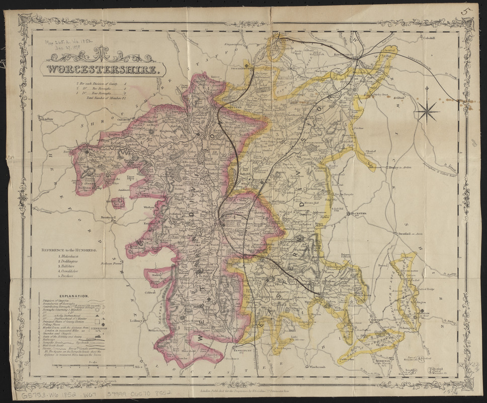
Worcestershire and Gloucestershire
Item Information
- Title:
- Worcestershire and Gloucestershire
- Cartographer:
- Weller, Edward, -1884
- Name on Item:
-
by Edwd. Weller, F.R.G.S.
- Date:
-
[1863]
- Format:
-
Maps/Atlases
- Location:
-
Boston Public Library
Norman B. Leventhal Map & Education Center - Collection (local):
-
Norman B. Leventhal Map & Education Center Collection
- Subjects:
-
Gloucestershire (England)--Maps
Worcestershire (England)--Maps
- Places:
-
EnglandGloucestershire (county)
EnglandWorcestershire (county)
- Extent:
- 1 map on 2 sheets : color ; sheets 36 x 50 cm
- Terms of Use:
-
No known copyright restrictions.
No known restrictions on use.
- Publisher:
-
[London] :
Weekly Dispatch
- Scale:
-
Scale approximately 1:195,000
- Language:
-
English
- Table of Contents:
-
North sheet
South sheet.
- Notes:
-
Relief shown by hachures.
In lower left: Weekly Dispatch atlas.
- Notes (date):
-
This date is inferred.
- Identifier:
-
06_01_014919
- Call #:
-
G5753.W6 1852 .W67
- Barcode:
-
39999065708552


