Toggle navigation
LMEC Home
Exhibitions
Georeferencing
Tools for Teachers
Collections
My Favorites
Sign Up / Log In
Search
Search the map portal
Map Collection
Map Collection
Map Sets
Search
Search
Search for
Search In
All Fields
Creator
Title
Subject
Place
Search All Digital Collections
Advanced Search
71 Results
My Search
Start Over
1697
Remove constraint 1697
Filter your Search
Place
North America
17
North and Central America
15
Europe
10
Saint Lawrence River
8
Africa
7
Canada
7
Cape Verde
6
South America
5
more
Place
»
Topic
North America--Maps--Early works to 1800
9
North America--Maps
8
Saint Lawrence River--Maps, Manuscript--Early works to 1800
4
South America--Maps
4
Fortification--Ontario, Lake (N.Y. and Ont.)--Maps, Manuscript--Early works to 1800
3
Ontario, Lake (N.Y. and Ont.)--Maps, Manuscript--Early works to 1800
3
Saint Lawrence River--Maps
3
Swedish-Polish War, 1655-1660--Maps--Early works to 1800
3
more
Topic
»
Date
Date range begin
–
Date range end
Current results range from
1689
to
1891
View distribution
Creator
Anville, Jean Baptiste Bourguignon d', 1697-1782
33
Coronelli, Vincenzo, 1650-1718
10
Dahlbergh, Erik Jönsson, greve, 1625-1703
8
Pufendorf, Samuel, Freiherr von, 1632-1694
8
Riegel, Christoph
8
Swidde, Willem, 1660 or 1661-1697
8
Labrosse, Paul, 1697-1769
7
Royal United Services Institute for Defence and Security Studies
7
more
Creator
»
Format
Maps/Atlases
66
Prints
5
Manuscripts
1
Georeferenced
Yes
6
No
65
Collection
Norman B. Leventhal Map Center Collection
50
American Revolutionary War-Era Maps
27
British Library Collection
7
New York Public Library Collection
5
American Antiquarian Society Collection
3
MacLean Collection Map Library
2
Massachusetts Historical Society Map Collection
2
Boston and New England Maps
1
more
Collection
»
Available to use
No known restrictions
50
Creative Commons license
15
Search Constraints
Sort by relevance
relevance
title
date (asc)
date (desc)
Number of results to display per page
20 per page
10
per page
20
per page
50
per page
100
per page
View results as:
grid view
map view
Search Results
1.
New England and New York in 1697
2.
A map plat or draught of the twelve divisions of land as they were laid out, bounded & measured to ye proprietors in...
3.
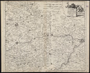
A new mapp of ye seat of the warr in the counties of Namur and Hainault wherin perticulerly is described ye cittyes town's...
4.
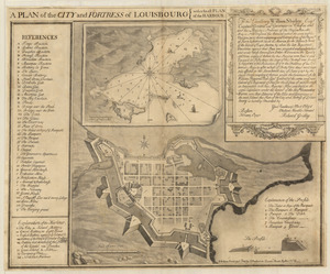
Plan of the city and fortress of Louisbourg
5.
Carte de l'Amérique septentrionale, 1754
6.
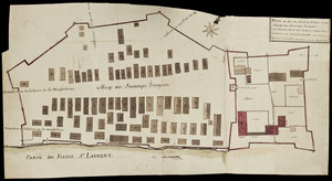
Plan du Fort du Sault de St. Louis et du village des sauvages Iroquois
7.
Amérique Septentrionale
8.
Egypte nommée dans le pays Missir
9.
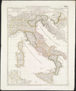
Tabula Italiae antiquae geographica : quam excellentissimus dominus Dex de la Rochefoucauld in oere incidi curavit
10.
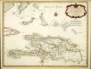
Carte de l'Isle de Saint Domingue
11.
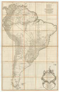
Amérique Méridionale
12.
Amérique Septentrionale
13.
Amérique Septentrionale
14.
Amérique Septentrionale publiée sous les auspices de Monseigneur le Duc d'Orleans prémier prince du sang
15.
Asiæ quæ vulgo minor dicitur et Syriæ tabula geographica : quantum per subsidia licuit elaborata, opere, si quod aliud in...
16.
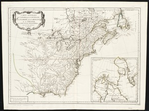
Carte générale du Canada, de la Louisiane, de la Floride, de la Caroline, de la Virginie, de la Nouvelle Angleterre etc
17.
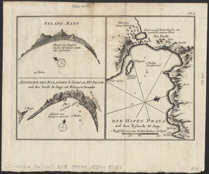
Eyland Mayo ; Aussicht des eylandes S. Jago od. St Jacob und der stadt St Jago od. Ribeyro Grande ; Der hafen Praya auf dem...
18.
La France divisée en provinces et en généralités : dont le plan est celui de l'ancienne Gaule
19.
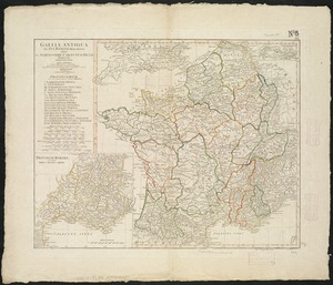
Gallia Antiqua ex Aevi Romani monumentis eruta et serenissimi Carnutum Ducis munificientia publicijuris facta
20.
Graeciae antiquae
‹ Prev
Next ›
1
2
3
4