Toggle navigation
LMEC Home
Exhibitions
Georeferencing
Tools for Teachers
Collections
My Favorites
Sign Up / Log In
Search
Search the map portal
Map Collection
Map Collection
Map Sets
Search
Search
Search for
Search In
All Fields
Creator
Title
Subject
Place
Search All Digital Collections
Advanced Search
85 Results
My Search
Start Over
1923
Remove constraint 1923
Filter your Search
Place
North and Central America
81
United States
79
Massachusetts
33
Vermont
15
Worcester (county)
8
Berkshire (county)
7
New Hampshire
6
Connecticut
5
more
Place
»
Topic
Fire risk assessment
6
Insurance surveys
6
United States--Maps
4
Cotton manufacture
3
Textile factories
3
Boston Public Library
2
Cotton--Storage
2
Leominster (Mass.)--Aerial views
2
more
Topic
»
Date
Date range begin
–
Date range end
Current results range from
1830
to
2000
View distribution
Creator
Burleigh, L. R., 1853-1923
47
Associated Mutual Insurance Companies
5
Bartlett, George Hartnell, 1838-1923
5
Geological Survey (U.S.)
3
Boston (Mass.). Department of Parks
2
Pusey, Lewis B.
2
Shurcliff, Arthur A. (Arthur Asahel), 1870-1957
2
Anderson, Philander, 1810?-1853
1
more
Creator
»
Format
Maps/Atlases
85
Georeferenced
Yes
4
No
81
Collection
Norman B. Leventhal Map & Education Center Collection
77
Boston and New England Maps
54
Urban Maps
52
American Textile History Museum Image Collection
6
Massachusetts Real Estate Atlases
1
Town plans, 1830
1
Available to use
No known restrictions
77
Creative Commons license
1
Search Constraints
Sort by date (desc)
relevance
title
date (asc)
date (desc)
Number of results to display per page
20 per page
10
per page
20
per page
50
per page
100
per page
View results as:
grid view
map view
Search Results
1.
The public libraries of Massachusetts
2.
The adventures of Mark Twain
3.
Geologic map of Oklahoma
4.
Franklin Park general plan for zoological garden
5.
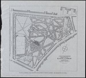
General plan for Boston Common
6.
Official highway map of the state of Vermont
7.
Androscoggin Mills (Cotton Mill), Lewiston, Me. [insurance map]
8.
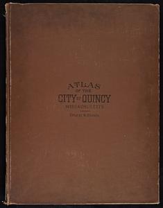
Atlas of the city of Quincy, Norfolk County, Massachusetts : compiled from the latest plans and original surveys
9.
Boston Harbor
10.
Diagram showing the Changuinola Railroad lines
11.
Drake's silver map : British Museum
12.
Frank W. Smith Co. (Silver Ware), Gardner, Mass. [insurance map]
13.
Greater Macon
14.
Landing facilities and proposed airway system in the United States, 1923
15.
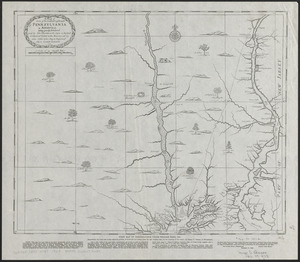
A map of some of the south and east bounds of Pennsylvania in America, being partly inhabited
16.
Map showing transmission lines of the Shawinigan Water & Power Co.
17.
Nashawena Mills (Cotton Mill), New Bedford, Mass. [insurance map]
18.
New Bedford Storage Warehouse Co. "Union Stores," New Bedford, Mass. [insurance map]
19.
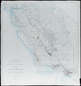
Oil and gas fields of the state of California
20.
Physiographic diagram of Europe
‹ Prev
Next ›
1
2
3
4
5


![Androscoggin Mills (Cotton Mill), Lewiston, Me. [insurance map]](https://bpldcassets.blob.core.windows.net/derivatives/images/commonwealth:4j03df194/image_thumbnail_300.jpg)


![Frank W. Smith Co. (Silver Ware), Gardner, Mass. [insurance map]](https://bpldcassets.blob.core.windows.net/derivatives/images/commonwealth:ww72bx96t/image_thumbnail_300.jpg)


![Nashawena Mills (Cotton Mill), New Bedford, Mass. [insurance map]](https://bpldcassets.blob.core.windows.net/derivatives/images/commonwealth:ww72bz669/image_thumbnail_300.jpg)
![New Bedford Storage Warehouse Co. "Union Stores," New Bedford, Mass. [insurance map]](https://bpldcassets.blob.core.windows.net/derivatives/images/commonwealth:ww72bz72f/image_thumbnail_300.jpg)