Toggle navigation
LMEC Home
Exhibitions
Georeferencing
Tools for Teachers
Collections
My Favorites
Sign Up / Log In
Search
Search the map portal
Map Collection
Map Collection
Map Sets
Search
Search
Search for
Search In
All Fields
Creator
Title
Subject
Place
Search All Digital Collections
Advanced Search
216 Results
My Search
Start Over
Date
1920
to
1924
Remove constraint Date: <span class='from'>1920</span> to <span class='to'>1924</span>
Filter your Search
Place
North and Central America
171
United States
154
Massachusetts
36
Europe
23
Boston
22
Suffolk (county)
22
Canada
13
Bristol (county)
12
more
Place
»
Topic
Fire risk assessment
32
Insurance surveys
32
Textile factories
23
Cotton manufacture
17
Boston (Mass.)--Maps
11
Europe--Maps
6
Longmeadow (Mass.)--Maps
5
Real property--Massachusetts--Boston--Maps
5
more
Topic
»
Date
1920
to
1924
[remove]
216
Date range begin
–
Date range end
Current results range from
1770
to
1999
1920
to
1920
75
1921
to
1921
63
1922
to
1922
58
1923
to
1923
42
1924
to
1924
59
Creator
Associated Mutual Insurance Companies
23
Geological Survey (U.S.)
12
Richards Map Company
9
Rand McNally and Company
8
United States. Army. Engineer Reproduction Plant
7
Associated Factory Mutual Fire Insurance Companies
5
France. Armée. Groupe de canevas de tir
5
Price & Lee Co.
5
more
Creator
»
Format
Maps/Atlases
215
Photographs
1
Georeferenced
Yes
16
No
200
Collection
Norman B. Leventhal Map & Education Center Collection
169
American Textile History Museum Image Collection
32
Boston and New England Maps
19
Urban Maps
19
Massachusetts Real Estate Atlases
8
Lucius Beebe Memorial Library Historic Maps
3
American Revolutionary War-Era Maps
1
Boston Redevelopment Authority Collection
1
more
Collection
»
Available to use
No known restrictions
173
Creative Commons license
1
Search Constraints
Sort by relevance
relevance
title
date (asc)
date (desc)
Number of results to display per page
20 per page
10
per page
20
per page
50
per page
100
per page
View results as:
grid view
map view
Search Results
161.
Rand McNally & Co's new commercial map of Europe
162.
Rand McNally official 1920 auto trails map : District number 6 : New England, eastern New York
163.
Rand McNally official 1924 auto trails map Maine ; Rand McNally official 1924 auto trails map New Hampshire, Vermont
164.
Rand McNally standard map of Toronto and environs
165.
Rand McNally standard map of Washington D.C.
166.
The Rand-McNally map of the city of Havana showing suburbs, parks, forts, and principal buildings
167.
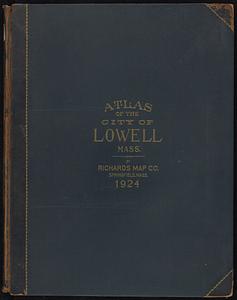
Richards standard atlas of the city of Lowell, Massachusetts
168.
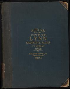
Richards standard atlas of the city of Lynn and the towns of Swampscott, Saugus, and Nahant, Massachusetts
169.
Richards standard atlas of the city of Lynn and the towns of Swampscott, Saugus and Nahant, Massachusetts : from official...
170.
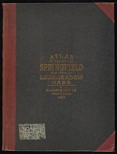
Richards Standard atlas of the city of Springfield and the town of Longmeadow, Massachusetts
171.
Richards standard atlas of the city of Springfield and the town of Longmeadow, Massachusetts
172.
Richards standard atlas of the city of Springfield and the town of Longmeadow, Massachusetts [plate 1]
173.
Richards standard atlas of the city of Springfield and the town of Longmeadow, Massachusetts [plate 10]
174.
Richards standard atlas of the city of Springfield and the town of Longmeadow, Massachusetts [plate 9]
175.
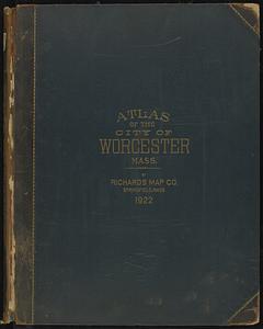
Richards standard atlas of the city of Worcester, Massachusetts
176.
Riverside & Dan River Cotton Mills, Inc. "Dan River Division," Schoolfield, Va. [insurance map]
177.
Riverside & Dan River Cotton Mills, Inc. "Riverside Division, Mill No. 8" (Cotton Mill), Danville, Va. [insurance map]
178.
R.L. Polk & Co.'s map of Bay City, and Essexville Mich
179.
R.L. Polk & Co's map of greater Battle Creek and suburbs
180.
Saskatchewan : map showing disposition of lands
‹ Prev
Next ›
1
2
…
5
6
7
8
9
10
11


![Richards standard atlas of the city of Springfield and the town of Longmeadow, Massachusetts [plate 1]](https://bpldcassets.blob.core.windows.net/derivatives/images/commonwealth:3f463814r/image_thumbnail_300.jpg)
![Richards standard atlas of the city of Springfield and the town of Longmeadow, Massachusetts [plate 10]](https://bpldcassets.blob.core.windows.net/derivatives/images/commonwealth:3f463818v/image_thumbnail_300.jpg)
![Richards standard atlas of the city of Springfield and the town of Longmeadow, Massachusetts [plate 9]](https://bpldcassets.blob.core.windows.net/derivatives/images/commonwealth:3f4638169/image_thumbnail_300.jpg)
![Riverside & Dan River Cotton Mills, Inc. "Dan River Division," Schoolfield, Va. [insurance map]](https://bpldcassets.blob.core.windows.net/derivatives/images/commonwealth:2r36vc39h/image_thumbnail_300.jpg)
![Riverside & Dan River Cotton Mills, Inc. "Riverside Division, Mill No. 8" (Cotton Mill), Danville, Va. [insurance map]](https://bpldcassets.blob.core.windows.net/derivatives/images/commonwealth:2r36vc37z/image_thumbnail_300.jpg)


