Toggle navigation
LMEC Home
Exhibitions
Georeferencing
Tools for Teachers
Collections
My Favorites
Sign Up / Log In
Search
Search the map portal
Map Collection
Map Collection
Map Sets
Search
Search
Search for
Search In
All Fields
Creator
Title
Subject
Place
Search All Digital Collections
Advanced Search
237 Results
My Search
Start Over
1870
Remove constraint 1870
Filter your Search
Place
North and Central America
132
United States
114
Europe
85
Massachusetts
59
Boston
39
Germany
39
Suffolk (county)
39
France
34
more
Place
»
Topic
Franco-Prussian War, 1870-1871--Maps
33
Germany--Maps
25
Boston (Mass.)--Maps
21
Europe--Maps
17
France--Maps
17
Real property--Massachusetts--Boston--Maps
11
Land tenure--Massachusetts--Boston--Maps
8
Franco-Prussian War, 1870-1871--Aerial views
7
more
Topic
»
Date
Date range begin
–
Date range end
Current results range from
1783
to
1952
View distribution
Creator
United States. Hydrographic Office
13
Beers, F. W. (Frederick W.)
12
Hellfarth, C.
9
Justus Perthes (Firm : Gotha, Germany)
9
Petermann, A. (August), 1822-1878
8
Shurcliff, Arthur A. (Arthur Asahel), 1870-1957
8
G.W. Bacon & Co.
7
Anderson, Alexander, 1775-1870
6
more
Creator
»
Format
Maps/Atlases
233
Books
3
Manuscripts
3
Prints
2
Documents
1
Objects/Artifacts
1
Georeferenced
Yes
19
No
218
Collection
Norman B. Leventhal Map & Education Center Collection
222
Urban Maps
66
Boston and New England Maps
58
Maritime Charts and Atlases
21
American Revolutionary War-Era Maps
8
American Antiquarian Society Collection
5
Mapping Boston Collection
4
Massachusetts Real Estate Atlases
3
more
Collection
»
Available to use
No known restrictions
219
Creative Commons license
5
Search Constraints
Sort by relevance
relevance
title
date (asc)
date (desc)
Number of results to display per page
20 per page
10
per page
20
per page
50
per page
100
per page
View results as:
grid view
map view
Search Results
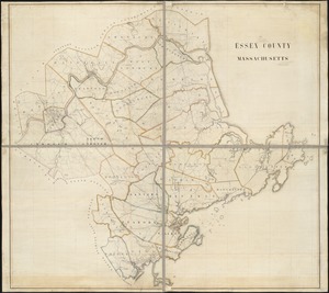
161.
Essex County, Massachusetts
162.
Fortifications of Central Europe : sheet no. 2 containing 16 plans
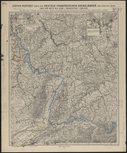
163.
Justus Perthes' karte der Deutsch-Französischen grenzländer von Köln bis Bern und von Metz bis Ulm : mit special-cartons der...
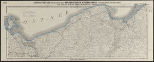
164.
Justus Perthes' specialkarte der norddeutschen küstenländer von der I. Rügen bis Königsberg : (aus Stielers 25-blatt-karte)
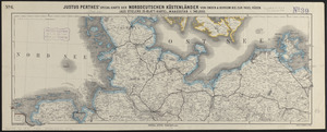
165.
Justus Perthes' specialkarte der norddeutschen küstenländer von Emden & Borkum bis zur insel Rügen : (aus Stielers...
166.
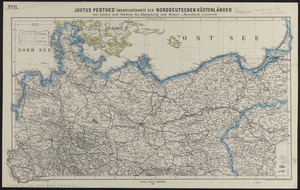
Justus Perthes' übersichtskarte der norddeutschen küstenländer von Emden und Borkum bis Königsberg und Memel
167.
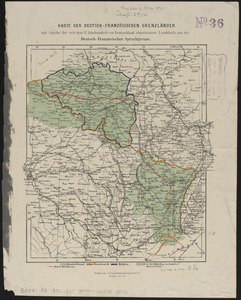
Karte der Deutsch-Französischen Grenzländer : mit angabe der seit dem 17 jahrhundert von Deutschland abgerissenen landtheile...
168.
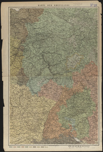
Karte der Rheinlande
169.
Map of Boston : from the latest surveys
170.
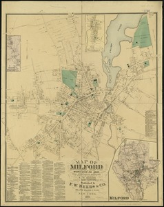
Map of Milford : town of Milford Worcester Co. Mass : from actual surveys and records
171.
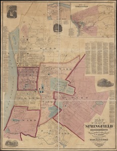
Map of the city of Springfield Massachusetts
172.
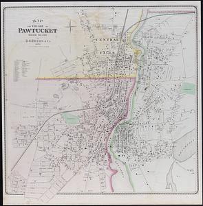
Map of the village of Pawtucket Rhode Island
173.
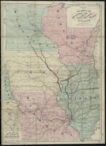
Map showing the Burlington, Cedar Rapids and Minnesota Railway and its connections
174.
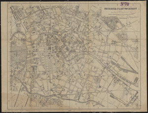
Neuester plan von Berlin
175.
Plan of Boston and its vicinity
176.
Plan of Boston, with additions and corrections
177.
Plan of the Dighton and Somerset rail road
178.
Plan of the town of Millbury : Worcester Co. Mass. : from recent and actual surveys
179.
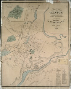
Plan of the towns of Clinton, Worcester Co. Mass : from recent surveys and records
180.
Plan of the towns of Sturbridge and Southbridge : from actual surveys and records
‹ Prev
Next ›
1
2
…
5
6
7
8
9
10
11
12