Toggle navigation
LMEC Home
Exhibitions
Georeferencing
Tools for Teachers
Collections
My Favorites
Sign Up / Log In
Search
Search the map portal
Map Collection
Map Collection
Map Sets
Search
Search
Search for
Search In
All Fields
Creator
Title
Subject
Place
Search All Digital Collections
Advanced Search
187 Results
My Search
Start Over
1900
Remove constraint 1900
Filter your Search
Place
North and Central America
146
United States
116
Massachusetts
48
Boston
26
Suffolk (county)
26
Asia
18
Cuba
13
Europe
13
more
Place
»
Topic
Boston (Mass.)--Maps
13
United States--Maps
10
Franco-Prussian War, 1870-1871--Aerial views
7
France--History--1789-1900--Aerial views
6
Germany--History--1789-1900--Aerial views
6
Havana (Cuba)--Maps
6
Luzon (Philippines)--Maps
6
New England--Maps--Early works to 1800--Facsimiles
5
more
Topic
»
Date
Date range begin
–
Date range end
Current results range from
1764
to
2005
View distribution
Creator
United States. War Department
16
United States. Congress (56th, 2nd session : 1900-1901). Senate
10
United States. Congress. Senate. Committee on Foreign Relations
10
United States. Army. Department of Cuba
9
United States. Congress (56th, 2nd session : 1900-1901). House
8
United States. Government Printing Office
8
United States. Army. Corps of Engineers
7
Geo. H. Walker & Co.
6
more
Creator
»
Format
Maps/Atlases
182
Manuscripts
7
Photographs
3
Prints
2
Books
1
Drawings/Illustrations
1
Posters
1
Georeferenced
Yes
21
No
166
Collection
Norman B. Leventhal Map & Education Center Collection
176
Boston and New England Maps
17
Urban Maps
16
Robert E. Diefenbach Map Collection at Phillips Academy
5
American Revolutionary War-Era Maps
3
Massachusetts Real Estate Atlases
3
Maritime Charts and Atlases
2
Colonial and Revolutionary Boston
1
more
Collection
»
Available to use
No known restrictions
176
Creative Commons license
2
Search Constraints
Sort by relevance
relevance
title
date (asc)
date (desc)
Number of results to display per page
20 per page
10
per page
20
per page
50
per page
100
per page
View results as:
grid view
map view
Search Results
141.
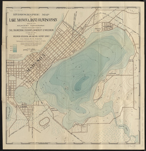
Hydrographic map of Lake Monona, Dane Co., Wisconsin and of the adjacent topography
142.
Samuel Thaxter & Son, manufacturers and importers of nautical and optical instruments, charts and nautical books; publishers of...
143.
Boston Inner Harbor Massachusetts
144.
Map of Boston and adjacent country showing that city to be the geographical as well as intellectual and moral centre of one...
145.
Plan of Fall River (Troy), surveyor's name not given, dated August 1831
146.
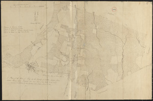
[Plan showing wharves of Boston from Batterymarch Street to Fleet Street; the "circular line" limit of wharves; and the...
147.
Atlas of Middlesex County : volume 1, Cambridge, Somerville, Arlington, Belmont, Watertown, Everett, Malden, Medford, Newton,...
148.
B. F. Stevens's facsimile of the unpublished British head quarters coloured manuscript map of New York & environs (1782) :...
149.
Atlas of Middlesex County. Vol. 1. Cambridge, Somerville, Arlington, Belmont, Watertown, Everett, Malden, Medford, Newton,...
150.
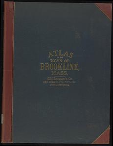
Atlas of the town of Brookline, Norfolk County, Massachusetts
151.
Indexed map of Boston
152.
Lexington map 1794
153.
Map of the railroads of the state of Massachusetts : accompanying the report of the railroad commissioners : 1899
154.
Plan and section, Lawrencetown gold district, Halifax County, N.S
155.
Plan and sections Renerew gold district, Hants Co. Nova Scotia
156.
Uncle Sam's family tree
157.
Belvidere Park : Lowell, Mass
158.
A draught of St. John's harbour : with the soundings
159.
A small map of the sea coast of New England together with the outlines of several of the provinces lying thereon, 1738
160.
[Plan of part of Boston bounded by Eliot, Washington, and Pleasant streets showing landownership in the late 17th century]
‹ Prev
Next ›
1
2
…
4
5
6
7
8
9
10


![[Plan showing wharves of Boston from Batterymarch Street to Fleet Street; the "circular line" limit of wharves; and the Barricado, with gaps]](https://bpldcassets.blob.core.windows.net/derivatives/images/commonwealth:9s161j18r/image_thumbnail_300.jpg)


![[Plan of part of Boston bounded by Eliot, Washington, and Pleasant streets showing landownership in the late 17th century]](https://bpldcassets.blob.core.windows.net/derivatives/images/commonwealth:4m90fp141/image_thumbnail_300.jpg)