Toggle navigation
LMEC Home
Exhibitions
Georeferencing
Tools for Teachers
Collections
My Favorites
Sign Up / Log In
Search
Search the map portal
Map Collection
Map Collection
Map Sets
Search
Search
Search for
Search In
All Fields
Creator
Title
Subject
Place
Search All Digital Collections
Advanced Search
153 Results
My Search
Start Over
1890
Remove constraint 1890
Filter your Search
Place
North and Central America
136
United States
132
Massachusetts
50
Suffolk (county)
27
Boston
26
Middlesex (county)
16
Wakefield
11
Europe
7
more
Place
»
Topic
Boston (Mass.)--Maps
12
United States--Maps
9
Louisiana--Maps
6
Massachusetts--Maps
6
Real property--Massachusetts--Boston--Maps
6
Landowners--Massachusetts--Boston--Maps
4
United States--Census, 1890
4
Boston (Mass.)--Aerial views
3
more
Topic
»
Date
Date range begin
–
Date range end
Current results range from
1757
to
1960
View distribution
Creator
Bridge, Edward Melville, 1890-
11
Wakefield Item Company
11
Geological Survey (U.S.)
9
O.H. Bailey & Co
9
U.S. Coast and Geodetic Survey
6
Gannett, Henry, 1846-1914
5
Julius Bien & Co.
5
United States. Census Office
4
more
Creator
»
Format
Maps/Atlases
151
Manuscripts
3
Prints
2
Objects/Artifacts
1
Georeferenced
Yes
20
No
133
Collection
Norman B. Leventhal Map & Education Center Collection
137
Boston and New England Maps
54
Urban Maps
47
Lucius Beebe Memorial Library Historic Maps
11
Maritime Charts and Atlases
8
MacLean Collection Map Library
2
American Revolutionary War-Era Maps
1
British Library Collection
1
more
Collection
»
Available to use
No known restrictions
146
Creative Commons license
1
Search Constraints
Sort by relevance
relevance
title
date (asc)
date (desc)
Number of results to display per page
20 per page
10
per page
20
per page
50
per page
100
per page
View results as:
grid view
map view
Search Results
141.
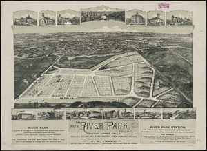
Map of River Park, Newton Upper Falls
142.
Plan 1
143.
[Plan of lots in Chinatown (Boston), between Avery and Eliot Streets, and Tremont Street and Harrison Avenue]
144.
Great Northern Railway and proprietary lines
145.
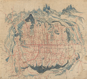
Map of Seoul
146.
The New England states and part of Canada
147.
Plan and section, Salmon River gold district, Halifax Co., N.S
148.
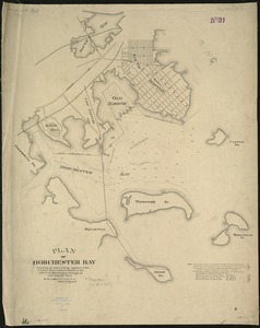
Plan of Dorchester Bay showing its surroundings together with current observations to illustrate the effect of discharging...
149.
[Plan of lots on Park, Beacon and Tremont Streets in Boston]
150.
Plan of property of the National Dock & Warehouse Co. East Boston
151.
Proposed street railroad over the Back Bay to Brookline
152.
The West India Islands and adjacent territory showing British possessions south of the United States
153.
From Muskeget Channel to Buzzard's Bay and entrance to Vineyard Sound, Mass
‹ Prev
Next ›
1
2
…
4
5
6
7
8

![[Plan of lots in Chinatown (Boston), between Avery and Eliot Streets, and Tremont Street and Harrison Avenue]](https://bpldcassets.blob.core.windows.net/derivatives/images/commonwealth:cj82kz565/image_thumbnail_300.jpg)


![[Plan of lots on Park, Beacon and Tremont Streets in Boston]](https://bpldcassets.blob.core.windows.net/derivatives/images/commonwealth:9s161j64v/image_thumbnail_300.jpg)


