Search Constraints
Search Results

142. Becket

143. Brookfield

144. Charlton

145. Chester

147. Clappville

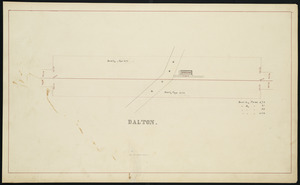
150. Dalton

151. East Brookfield

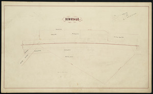
153. Hinsdale
154. Huntington

155. Indian Orchard


159. Palmer
