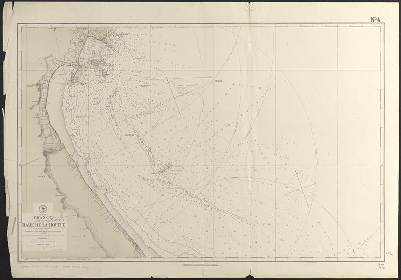
France, north west coast, Rade de la Hougue : from a French survey in 1833 ; republication of Brit. Admty. chart no. 2743, with corrections to 1875
Item Information
- Title:
- France, north west coast, Rade de la Hougue : from a French survey in 1833 ; republication of Brit. Admty. chart no. 2743, with corrections to 1875
- Issuing body:
- United States. Hydrographic Office
- Date:
-
[1880]
- Format:
-
Maps/Atlases
- Genre:
-
Nautical charts
- Location:
-
Boston Public Library
Norman B. Leventhal Map & Education Center - Collection (local):
-
Norman B. Leventhal Map & Education Center Collection
- Subjects:
-
Saint-Vaast-La Hougue (France)--Maps
Nautical charts--France--Saint-Vaast-La Hougue
Roadsteads--France--Saint-Vaast-La Hougue
- Places:
-
FranceNormandie (region)Saint-Vaast-la-Hougue
- Extent:
- 1 map ; 60 x 93 cm
- Terms of Use:
-
No known copyright restrictions.
No known restrictions on use.
- Publisher:
-
Washington, D.C. :
Hydrographic Office
- Scale:
-
Scale approximately 1:37,500
- Language:
-
English
- Notes:
-
Relief shown by hachures. Depths shown by soundings and isolines.
"Cor. (65.IV.80)."
Also indicates visibility of lighthouses.
- Notes (date):
-
This date is inferred.
- Identifier:
-
06_01_017591
- Call #:
-
G9096.P5 svar .U55 no. 678
- Barcode:
-
39999085961546


