Search Constraints
Search Results

1341. Boston

1342. Boston

1343. Boston

1344. Boston

1345. Boston
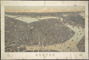
1346. Boston : 1899
1347. Boston

1349. Boston
1350. Boston
1351. Boston
1352. Boston


1354. Boston & harbour

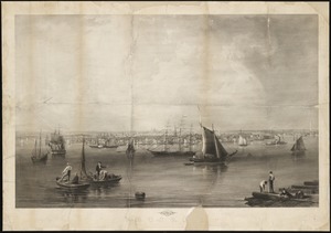
1355. Boston, 1838