Toggle navigation
LMEC Home
Exhibitions
Georeferencing
Tools for Teachers
Collections
My Favorites
Sign Up / Log In
Search
Search the map portal
Map Collection
Map Collection
Map Sets
Search
Search
Search for
Search In
All Fields
Creator
Title
Subject
Place
Search All Digital Collections
Advanced Search
1475 Results
My Search
Start Over
Subject
"Boston (Mass.)--Maps"
Remove constraint Subject: "Boston (Mass.)--Maps"
Filter your Search
Place
North and Central America
1,474
United States
1,472
Suffolk (county)
1,391
Boston
1,387
Massachusetts
1,090
Boston Harbor
125
Roxbury
89
Charlestown
71
more
Place
»
Topic
Boston (Mass.)--Maps
741
City planning--Massachusetts--Boston--Maps
407
Urban renewal--Massachusetts--Boston--Maps
245
Real property--Massachusetts--Boston--Maps
243
Landowners--Massachusetts--Boston--Maps
160
Buildings--Massachusetts--Boston--Maps
121
Land use--Massachusetts--Boston--Maps
98
Roxbury (Boston, Mass.)--Maps
88
more
Topic
»
Date
Date range begin
–
Date range end
Current results range from
1689
to
2023
View distribution
Creator
Boston Redevelopment Authority
386
Bromley, George Washington
69
Bromley, Walter Scott
68
G.W. Bromley & Co.
46
Geo. H. Walker & Co
28
Boston (Mass.). Engineering Dept
21
Boynton, George W., d. 1884
21
Sampson, Davenport & Co
21
more
Creator
»
Format
Maps/Atlases
1,472
Manuscripts
50
Drawings/Illustrations
5
Posters
1
Prints
1
Georeferenced
Yes
140
No
1,335
Collection
Boston and New England Maps
1,200
Urban Maps
1,011
Norman B. Leventhal Map & Education Center Collection
994
Boston Redevelopment Authority Collection
449
American Revolutionary War-Era Maps
129
Mapping Boston Collection
52
Massachusetts Real Estate Atlases
38
Maritime Charts and Atlases
28
more
Collection
»
Available to use
No known restrictions
1,292
Creative Commons license
116
Search Constraints
Sort by relevance
relevance
title
date (asc)
date (desc)
Number of results to display per page
20 per page
10
per page
20
per page
50
per page
100
per page
View results as:
grid view
map view
Search Results
1341.
Central business district urban renewal area, Massachusetts r-82 : illustrative site plan
1342.
Central business district urban renewal area Massachusetts r-82 : illustrative site plan
1343.
Central business district urban renewal area r-82 : parcel acquisition map
1344.
Central business district urban renewal area r-82 : existing land use
1345.
Disposition parcels, Charlestown urban renewal area, Massachusetts R-55
1346.
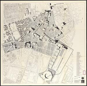
Downtown and neighborhood cultural facilities
1347.
Downtown Waterfront-Faneuil Hall renewal area : existing land use
1348.
Insurance maps of Boston volume 4 : comprising portions of Charlestown, East Cambridge, Cambridge Port, Old Cambridge & Somerville
1349.
Park Plaza urban renewal area : map no. 6 land disposal map
1350.
Proposed Charles River Park
1351.
Proposed Charles River Park
1352.
Roxbury - N. Dorchester G.N.R.P. : preliminary land use plan
1353.
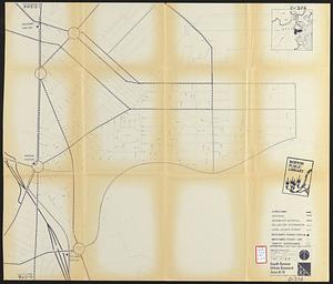
South Boston urban renewal area r-51 : proposed circulation
1354.
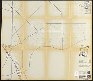
South Boston urban renewal area r-51 : existing circulation
1355.
Views of the area around Dudley Station in Roxbury
1356.
A PLAN of BOSTON and its Environs shewing the true Situation of His Majesty's Troops, and also those of the Rebels; likewise...
1357.
A SKETCH OF THE ACTION BETWEEN THE BRITISH FORCES AND THE AMERICAN PROVINCIALS, on the Heights of the Peninsula of Charlestown,...
1358.
Boston Harbor, Massachusetts
1359.
[Bunker Hill--rough sketch]
1360.
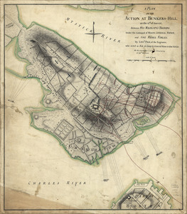
A plan of the action at Bunkers-Hill, on the 17th. of June, 1775 : between His Majesty's troops under the command of Major...
‹ Prev
Next ›
1
2
…
64
65
66
67
68
69
70
71
72
73
74


![[Bunker Hill--rough sketch]](https://bpldcassets.blob.core.windows.net/derivatives/images/commonwealth:z603vj151/image_thumbnail_300.jpg)