Toggle navigation
LMEC Home
Exhibitions
Georeferencing
Tools for Teachers
Collections
My Favorites
Sign Up / Log In
Search
Search the map portal
Map Collection
Map Collection
Map Sets
Search
Search
Search for
Search In
All Fields
Creator
Title
Subject
Place
Search All Digital Collections
Advanced Search
1483 Results
My Search
Start Over
Subject
"Boston (Mass.)--Maps"
Remove constraint Subject: "Boston (Mass.)--Maps"
Filter your Search
Place
North and Central America
1,482
United States
1,480
Suffolk (county)
1,398
Boston
1,394
Massachusetts
1,098
Boston Harbor
125
Roxbury
91
Charlestown
71
more
Place
»
Topic
Boston (Mass.)--Maps
746
City planning--Massachusetts--Boston--Maps
407
Real property--Massachusetts--Boston--Maps
245
Urban renewal--Massachusetts--Boston--Maps
245
Landowners--Massachusetts--Boston--Maps
161
Buildings--Massachusetts--Boston--Maps
122
Land use--Massachusetts--Boston--Maps
99
Roxbury (Boston, Mass.)--Maps
90
more
Topic
»
Date
Date range begin
–
Date range end
Current results range from
1689
to
2023
View distribution
Creator
Boston Redevelopment Authority
387
Bromley, George Washington
69
Bromley, Walter Scott
68
G.W. Bromley & Co.
46
Geo. H. Walker & Co
28
Boston (Mass.). Engineering Dept
21
Boynton, George W., d. 1884
21
Sampson, Davenport & Co
21
more
Creator
»
Format
Maps/Atlases
1,480
Manuscripts
50
Drawings/Illustrations
5
Posters
1
Prints
1
Georeferenced
Yes
140
No
1,343
Collection
Boston and New England Maps
1,208
Urban Maps
1,014
Norman B. Leventhal Map & Education Center Collection
1,002
Boston Redevelopment Authority Collection
449
American Revolutionary War-Era Maps
129
Mapping Boston Collection
52
Massachusetts Real Estate Atlases
38
Maritime Charts and Atlases
28
more
Collection
»
Available to use
No known restrictions
1,300
Creative Commons license
116
Search Constraints
Sort by relevance
relevance
title
date (asc)
date (desc)
Number of results to display per page
20 per page
10
per page
20
per page
50
per page
100
per page
View results as:
grid view
map view
Search Results
1281.
Map of the Boston Elevated Ry. 1927
1282.
New Congress Street improvements
1283.
Plan of Boston proper : showing changes in street and wharf lines, 1795 to 1895
1284.
Rose Kennedy Garden : contract documents August 1986 : prepared for City of Boston ; Parks & Recreations Department ; Boston...
1285.
Roxbury - N. Dorchester G.N.R.P. : preliminary circulation plan
1286.
[Boston Harbour, with the surroundings, &c]
1287.
Boston, its environs and harbour, with the rebel works raised against that town in 1775 : from the observations of Lieut. Page...
1288.
A Plan of the Battle of Bunker Hill
1289.
Back Bay zoning district map
1290.
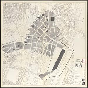
Central business district project no Mass r- : existing land use
1291.
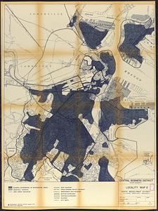
Central business district project no Mass r- : locality map 2
1292.
Central business district urban renewal area Massachusetts r-82 : acquisition plan
1293.
Central business district urban renewal area Massachusetts r-82 : proposed land use
1294.
Central business district urban renewal area Massachusetts r-82 : property map
1295.
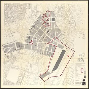
Central business district urban renewal area Massachusetts r-82 A,B,C : proposed land use
1296.
Charlestown project no. Mass r-42 (GN) : existing zoning
1297.
Charlestown urban renewal area r-55 : existing land use
1298.
Downtown project no. Mass. r-46 : existing land use
1299.
Government Center project Mass. r-35 : parcel 7 & subway structure topographic map
1300.
Illustrative site plan : South End urban renewal area, Massachusetts r-56
‹ Prev
Next ›
1
2
…
61
62
63
64
65
66
67
68
69
…
74
75


![[Boston Harbour, with the surroundings, &c]](https://bpldcassets.blob.core.windows.net/derivatives/images/commonwealth:t722hs94d/image_thumbnail_300.jpg)