Toggle navigation
LMEC Home
Exhibitions
Georeferencing
Tools for Teachers
Collections
My Favorites
Sign Up / Log In
Search
Search the map portal
Map Collection
Map Collection
Map Sets
Search
Search
Search for
Search In
All Fields
Creator
Title
Subject
Place
Search All Digital Collections
Advanced Search
194 Results
My Search
Start Over
1900
Remove constraint 1900
Filter your Search
Place
North and Central America
148
United States
118
Massachusetts
48
Boston
26
Suffolk (county)
26
Asia
20
Europe
14
Cuba
13
more
Place
»
Topic
Boston (Mass.)--Maps
13
United States--Maps
10
Franco-Prussian War, 1870-1871--Aerial views
7
France--History--1789-1900--Aerial views
6
Germany--History--1789-1900--Aerial views
6
Havana (Cuba)--Maps
6
Luzon (Philippines)--Maps
6
New England--Maps--Early works to 1800--Facsimiles
5
more
Topic
»
Date
Date range begin
–
Date range end
Current results range from
1764
to
2005
View distribution
Creator
United States. War Department
16
United States. Congress (56th, 2nd session : 1900-1901). Senate
10
United States. Congress. Senate. Committee on Foreign Relations
10
United States. Army. Department of Cuba
9
United States. Congress (56th, 2nd session : 1900-1901). House
8
United States. Government Printing Office
8
United States. Army. Corps of Engineers
7
Geo. H. Walker & Co.
6
more
Creator
»
Format
Maps/Atlases
189
Manuscripts
7
Photographs
3
Paintings
2
Prints
2
Books
1
Drawings/Illustrations
1
Posters
1
Georeferenced
Yes
21
No
173
Collection
Norman B. Leventhal Map & Education Center Collection
181
Boston and New England Maps
18
Urban Maps
18
Robert E. Diefenbach Map Collection at Phillips Academy
5
American Revolutionary War-Era Maps
3
MacLean Collection Map Library
3
Maritime Charts and Atlases
3
Massachusetts Real Estate Atlases
3
more
Collection
»
Available to use
No known restrictions
181
Creative Commons license
2
Search Constraints
Sort by relevance
relevance
title
date (asc)
date (desc)
Number of results to display per page
20 per page
10
per page
20
per page
50
per page
100
per page
View results as:
grid view
map view
Search Results
101.
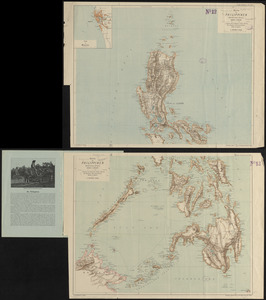
Karte der Philippinen : in zwei sectionen : nördliches und südliches blatt
102.
Map of north eastern China
103.
Map of Texas and parts of adjoining territories
104.
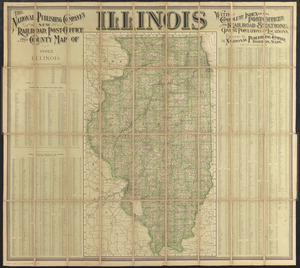
The National Publishing Company's new railroad, post-office and county map of Illinois : with complete index of all...
105.
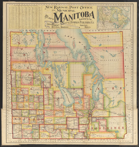
New railway, post office and municipal map of Manitoba : compiled from the latest government surveys and other official sources
106.
Spezialkarte der Samoa-Inseln
107.
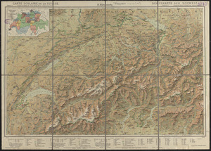
Carte scolaire de la Suisse
108.
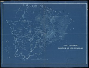
Plano topografico del canton de Los Tuxtlas
109.
Tourist's map of Scotland : reduced by permission from the Ordnance Survey by John Bartholomew, F.R.G.S.
110.
Western part of the United States of America including all its newly acquired territory
111.
Alaska and adjoining region
112.
Atlas of the town of Brookline, Norfolk County, Massachusetts : from actual surveys and official plans
113.
Buy homes of J.W. Wilbur & Co.
114.
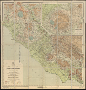
Carta topografica della provincia di Roma e regioni limitrofe con cartina speciale dei Colli Albani secondo i recenti rilievi...
115.
Charles River : carries shown by red lines
116.
[Lake Pleasant, Massachusetts]
117.
Map of Boston
118.
Map of Cape Nome and Golovin [sic] Bay
119.
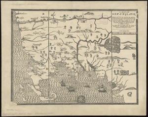
A map of New-England : being the first that ever was here cut, and done by the best pattern that could be had, which being in...
120.
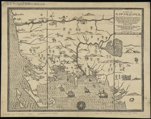
A map of New-England : being the first that ever was here cut, and done by the best pattern that could be had, which being in...
‹ Prev
Next ›
1
2
3
4
5
6
7
8
9
10


![[Lake Pleasant, Massachusetts]](https://bpldcassets.blob.core.windows.net/derivatives/images/commonwealth:9s161g546/image_thumbnail_300.jpg)

![Map of Cape Nome and Golovin [sic] Bay](https://bpldcassets.blob.core.windows.net/derivatives/images/commonwealth:4m90fc12m/image_thumbnail_300.jpg)