Toggle navigation
LMEC Home
Exhibitions
Georeferencing
Tools for Teachers
Collections
My Favorites
Sign Up / Log In
Search
Search the map portal
Map Collection
Map Collection
Map Sets
Search
Search
Search for
Search In
All Fields
Creator
Title
Subject
Place
Search All Digital Collections
Advanced Search
13385 Results
My Search
Start Over
Date facet yearly ssim
1800
to
1849
Remove constraint Date facet yearly ssim: <span class='from'>1800</span> to <span class='to'>1849</span>
Filter your Search
Place
North and Central America
10,111
United States
8,249
Massachusetts
2,691
Suffolk (county)
1,664
Boston
1,621
Europe
1,386
Canada
949
New York
640
more
Place
»
Topic
Boston (Mass.)--Maps
741
City planning--Massachusetts--Boston--Maps
418
United States--History--Revolution, 1775-1783--Maps
329
United States--Maps
315
Urban renewal--Massachusetts--Boston--Maps
254
Real property--Massachusetts--Boston--Maps
252
Massachusetts--Maps
219
Insurance surveys
197
more
Topic
»
Date
Date range begin
–
Date range end
Current results range from
1482
to
2023
View distribution
Creator
United States. Hydrographic Office
595
Boston Redevelopment Authority
403
Des Barres, Joseph F. W. (Joseph Frederick Wallet), 1722-1824
247
Royal United Services Institute for Defence and Security Studies
160
Jefferys, Thomas, -1771
154
George, III, King of Great Britain, 1738-1820
152
George, IV, King of Great Britain, 1762-1830
151
O.H. Bailey & Co
148
more
Creator
»
Format
Maps/Atlases
13,205
Manuscripts
985
Prints
102
Books
49
Drawings/Illustrations
44
Photographs
15
Objects/Artifacts
13
Documents
7
more
Format
»
Georeferenced
Yes
979
No
12,406
Collection
Norman B. Leventhal Map & Education Center Collection
8,891
American Revolutionary War-Era Maps
3,305
Boston and New England Maps
2,804
Urban Maps
2,397
Maritime Charts and Atlases
1,150
William L. Clements Library Collection
910
Library of Congress Collection
618
Boston Redevelopment Authority Collection
475
more
Collection
»
Available to use
No known restrictions
9,952
Creative Commons license
1,677
Search Constraints
Sort by relevance
relevance
title
date (asc)
date (desc)
Number of results to display per page
20 per page
10
per page
20
per page
50
per page
100
per page
View results as:
grid view
map view
Search Results
11641.
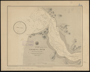
South America, Ecuador, Caraquez River : from a British survey in 1847
11642.
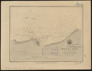
South America, Ecuador, Manta Bay : from a British survey in 1876
11643.
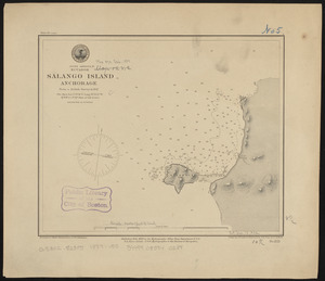
South America, Ecuador, Salango Island anchorage : from a British survey in 1847
11644.
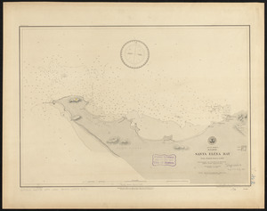
South America, Ecuador, Santa Eléna Bay : from a British survey in 1847
11645.
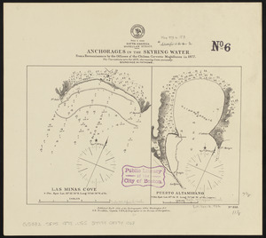
South America, Magellan Strait, anchorages in the Skyring Water : from a reconnaissance by the officers of the Chilean corvette...
11646.
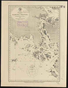
South America, Magellan Strait, Barbara Channel : from British surveys corrected to 1878
11647.
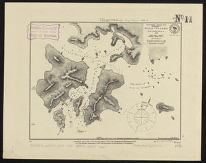
South America-- Magellan Strait, Desolation I., Week Islands : from a British survey in 1830
11648.
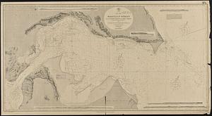
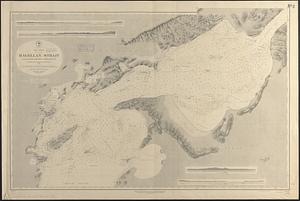
South America, Magellan Strait from the eastern entrance to the First Narrows : compiled from the most recent surveys to 1883
11649.
South America, Magellan Strait from the First Narrows to Broad Reach : compiled from the most recent surveys to 1883
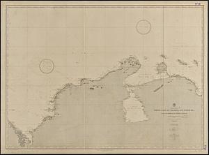
11650.
South America, north coast of Colombia and Venezuela, Gulf of Darien to Puerto Cabello : compiled from the latest information 1886
11651.
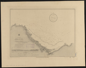
South America, north-west coast of Peru, harbor of Payta
11652.
South America, ports in Desolation and Sta. Ines Is. : from British surveys corrected to 1877
11653.
South America, ports in the Strait of Magellan : from British surveys corrected to 1877
11654.
South America, ports on the south side of Tierra del Fuego : from British surveys corrected to 1877
11655.
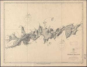
South America, Staten Island : from a British survey
11656.
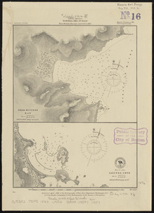
South America, Tierra del Fuego : from British surveys corrected to 1877
11657.
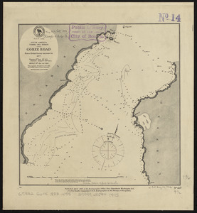
South America, Tierra del Fuego, Goree Road : from a British survey corrected to 1877
11658.
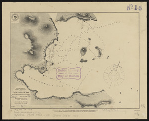
South America, Tierra del Fuego, Packsaddle Bay : from a British survey corrected to 1877
11659.
South America, United States of Colombia, Bahia Honda : from an old Spanish plan 1886
11660.
South America, United States of Colombia, Candelaria Bay : from an old Spanish plan 1886
‹ Prev
Next ›
1
2
…
579
580
581
582
583
584
585
586
587
…
669
670