Search Constraints
Search Results

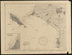
11621. South Africa

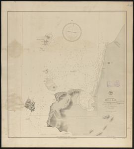
11622. South Africa

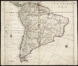
11623. South America

11624. South America

11625. South America

11626. South America

11627. South America


11629. South America


11632. South America