Toggle navigation
LMEC Home
Exhibitions
Georeferencing
Tools for Teachers
Collections
My Favorites
Sign Up / Log In
Search
Search the map portal
Map Collection
Map Collection
Map Sets
Search
Search
Search for
Search In
All Fields
Creator
Title
Subject
Place
Search All Digital Collections
Advanced Search
13385 Results
Filter your Search
Place
North and Central America
9,353
United States
7,078
Suffolk (county)
1,664
Boston
1,621
Europe
1,035
Canada
949
Massachusetts
794
New York
532
more
Place
»
Topic
Boston (Mass.)--Maps
741
City planning--Massachusetts--Boston--Maps
418
United States--History--Revolution, 1775-1783--Maps
329
United States--Maps
315
Urban renewal--Massachusetts--Boston--Maps
254
Real property--Massachusetts--Boston--Maps
252
Massachusetts--Maps
219
Insurance surveys
197
more
Topic
»
Date
Date range begin
–
Date range end
Current results range from
1482
to
2023
View distribution
Creator
United States. Hydrographic Office
595
Boston Redevelopment Authority
403
Des Barres, Joseph F. W. (Joseph Frederick Wallet), 1722-1824
247
Royal United Services Institute for Defence and Security Studies
160
Jefferys, Thomas, -1771
154
George, III, King of Great Britain, 1738-1820
152
George, IV, King of Great Britain, 1762-1830
151
O.H. Bailey & Co
148
more
Creator
»
Format
Maps/Atlases
13,205
Manuscripts
985
Prints
102
Books
49
Drawings/Illustrations
44
Photographs
15
Objects/Artifacts
13
Documents
7
more
Format
»
Georeferenced
Yes
979
No
12,406
Collection
Norman B. Leventhal Map Center Collection
8,891
American Revolutionary War-Era Maps
3,305
Boston and New England Maps
2,804
Urban Maps
2,397
Maritime Charts and Atlases
1,150
William L. Clements Library Collection
910
Library of Congress Collection
618
Boston Redevelopment Authority Collection
475
more
Collection
»
Available to use
No known restrictions
9,952
Creative Commons license
1,677
Search Constraints
Sort by title
relevance
title
date (asc)
date (desc)
Number of results to display per page
20 per page
10
per page
20
per page
50
per page
100
per page
View results as:
grid view
map view
Search Results
11041.
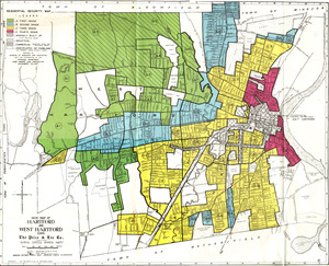
Residential security map of Hartford and West Hartford, Conn.
11042.
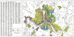
Residential security map of Haverhill, Mass.
11043.
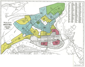
Residential security map of Holyoke and part of the city of Chicopee, Mass.
11044.
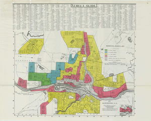
Residential security map of Manchester, N.H.
11045.
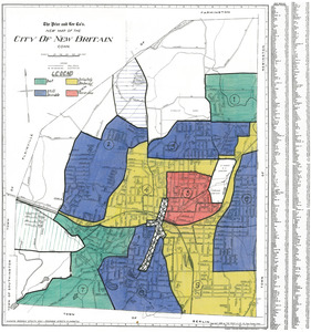
Residential security map of New Britain, Conn.
11046.
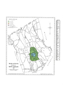
Residential security map of New Canaan, Conn.
11047.
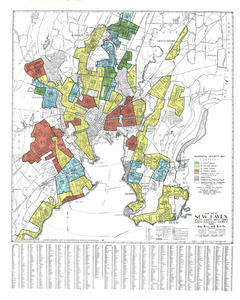
Residential security map of New Haven, East Haven, West Haven, North Haven and Hamden, Conn.
11048.
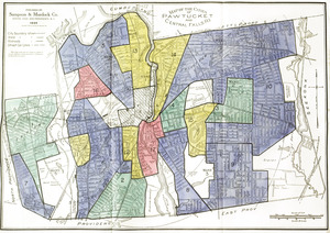
Residential security map of Pawtucket and Central Falls, R.I.
11049.
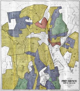
Residential security map of Providence, R.I.
11050.
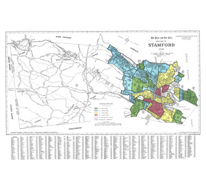
Residential security map of Stamford, Conn.
11051.
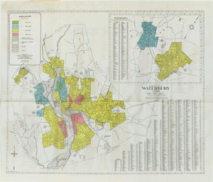
Residential security map of Waterbury, Conn.
11052.
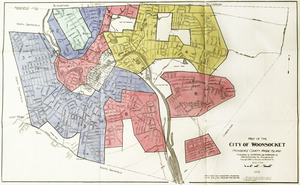
Residential security map of Woonsocket, R.I
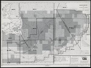
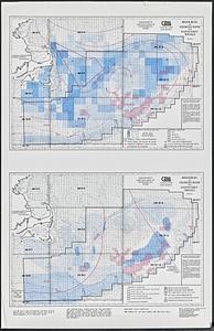
11053.
Resources on Georges Bank and Nantucket Shoals
11054.
Resources on Georges Bank and Nantucket Shoals
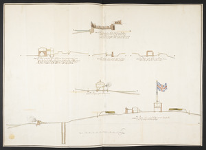
11055.
The Respective Profiles belonging to the great Iconografical Draughts of Castle Island in the Bay of Boston
11056.
The result of the Fifteenth Amendment, and the rise and progress of the African Race in America and its final accomplishment,...
11057.
Rethinking hazardous beliefs : challenging perceptions of the "dirty city"
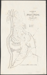
11058.
Retreat of the Marquis de Lafayette from Barren Hill, May 20th, 1778
11059.
Revere, Sales Creek - flood control study
11060.
Revised map of part of the Cahaba coal fields
‹ Prev
Next ›
1
2
…
549
550
551
552
553
554
555
556
557
…
669
670