Toggle navigation
LMEC Home
Exhibitions
Georeferencing
Tools for Teachers
Collections
My Favorites
Sign Up / Log In
Search
Search the map portal
Map Collection
Map Collection
Map Sets
Search
Search
Search for
Search In
All Fields
Creator
Title
Subject
Place
Search All Digital Collections
Advanced Search
95 Results
My Search
Start Over
Date
1901
Remove constraint Date: <span class='single'>1901</span>
Filter your Search
Place
North and Central America
72
United States
58
Massachusetts
18
Boston
12
Suffolk (county)
12
New York
9
Hawaii
8
Europe
7
more
Place
»
Topic
Boston (Mass.)--Maps
6
Havana (Cuba)--Maps
5
Gold mines and mining--Nova Scotia--Maps
4
Real property--Massachusetts--Boston--Maps
4
Roads--Cuba--Havana--Maps
4
Streets--Cuba--Havana--Maps
4
Geology--Nova Scotia--Halifax (County)--Maps
3
Halifax (N.S. : County)--Maps
3
more
Topic
»
Date
1901
[remove]
95
Date range begin
–
Date range end
Current results range from
1770
to
1999
1901
to
1901
95
Creator
United States. Congress (56th, 2nd session : 1900-1901). Senate
10
United States. Congress. Senate. Committee on Foreign Relations
10
United States. War Department
5
Alexander, W. D. (William De Witt), 1833-1913
4
Barden, W. J. (William Jones), 1870-
4
Geological Survey (U.S.)
4
Geological Survey of Canada
4
United States. Army. Corps of Engineers
4
more
Creator
»
Format
Maps/Atlases
91
Prints
2
Documents
1
Photographs
1
Georeferenced
Yes
10
No
85
Collection
Norman B. Leventhal Map & Education Center Collection
86
Urban Maps
9
Boston and New England Maps
5
Robert E. Diefenbach Map Collection at Phillips Academy
4
Massachusetts Real Estate Atlases
2
Ralph Finos Map Collection at Phillips Academy
2
American Revolutionary War-Era Maps
1
Sidney R. Knafel Map Collection at Phillips Academy
1
Available to use
No known restrictions
92
Search Constraints
Sort by relevance
relevance
title
date (asc)
date (desc)
Number of results to display per page
20 per page
10
per page
20
per page
50
per page
100
per page
View results as:
grid view
map view
Search Results
81.
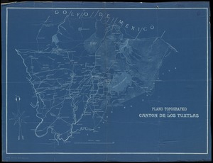
Plano topografico del canton de Los Tuxtlas
82.
Rail road map of Pennsylvania
83.
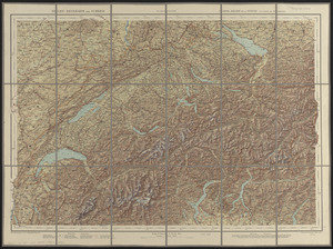
Relief-reisekarte der Schweiz = Carte-relief de la Suisse à l'usage des touristes
84.
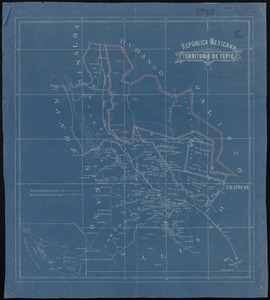
República Mexicana, Territorio de Tepic
85.
Samuel Thaxter & Son, manufacturers and importers of nautical and optical instruments, charts and nautical books; publishers of...
86.
A small map of the sea coast of New England together with the outlines of several of the provinces lying thereon, 1738
87.
The south part of New-England, as it is planted this yeare, 1635
88.
State of Chiapas
89.
State of Oaxaca
90.
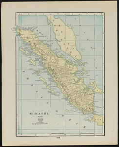
Sumatra
91.
To his excellency William Shirley Esqr., Captain General and Commander in Chief, in and over his Majesty's province of the...
92.
Touring road map of Chicago and environs : 6 counties
93.
Tourist's map of Scotland : reduced by permission from the Ordnance Survey by John Bartholomew, F.R.G.S.
94.
Town of Nahant
95.
Western part of the United States of America including all its newly acquired territory
‹ Prev
Next ›
1
2
3
4
5