Search Constraints
Search Results

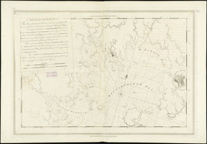
![[A chart of Boston Bay and vicinity]](https://bpldcassets.blob.core.windows.net/derivatives/images/commonwealth:cj82m2976/image_thumbnail_300.jpg)
83. Dorchester Bay
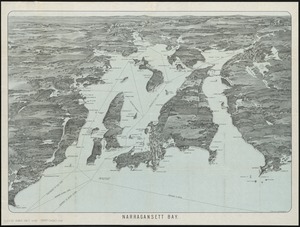
84. Narragansett Bay

85. Bay Bulls


87. Barrington Bay

88. Buzzards Bay
89. Mecklenburgh Bay

90. Charlotte Bay

91. Liverpool Bay

92. Miramichi Bay


97. Cape Cod Bay